Footscray Town Hall, Melbourne

Gallery (1)
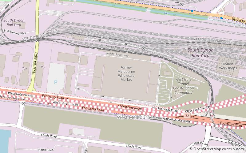
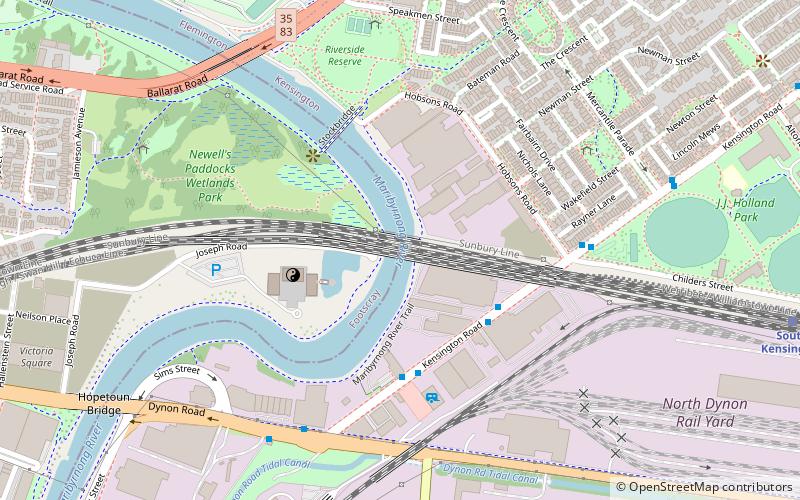
Map
Map
Facts and practical information
Footscray Town Hall, also known as Maribyrnong Town Hall since council amalgamations in the 1990s, is a civic building located on Napier Street in Footscray, a suburb of Melbourne, Australia. The hall was built in 1936 to the design of architect Joseph Plottel in the Romanesque Revival—Richardson Romanesque style. It replaced the previous town hall on the same site, which was demolished in 1935. The building is now used as the main council chambers of the City of Maribyrnong. ()
Coordinates: 37°48'17"S, 144°54'4"E
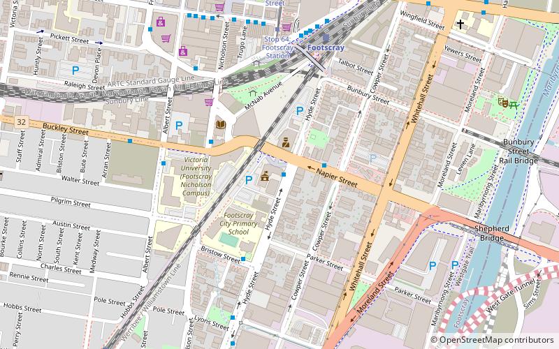
Address
61 Napier StreetMaribyrnong (Footscray)Melbourne
ContactAdd
Social media
Add
Getting there by public transportation
Public transportation stops near this location
- Bus
- Tram
- Train
 Bus
Bus
- Calculate routeNapier St/Hyde St 1 min walk
- Calculate routeHyde St/Bristow St 4 min walk
- Calculate routeBuckley St/Albert St 5 min walk
- Calculate routeNicholson Street/Irving Street 6 min walk
- Calculate routeFootscray 7 min walk
- Calculate routeSeddon 11 min walk
- Calculate routeMiddle Footscray 14 min walk
- Calculate routeWest Footscray 25 min walk
- Calculate routeStop 64: Footscray Station 7 min walk
- Calculate routeStop 63: Hopkins Street 9 min walk
- Calculate routeStop 63: Leeds Street 9 min walk
- Calculate routeStop 62: Nicholson Street 10 min walk
Maps Melbourne TramsMaps
 Victoria Trains
Melbourne TramsMapsVictoria TrainsDay trips


Frequently Asked Questions (FAQ)
Which popular attractions are close to Footscray Town Hall?
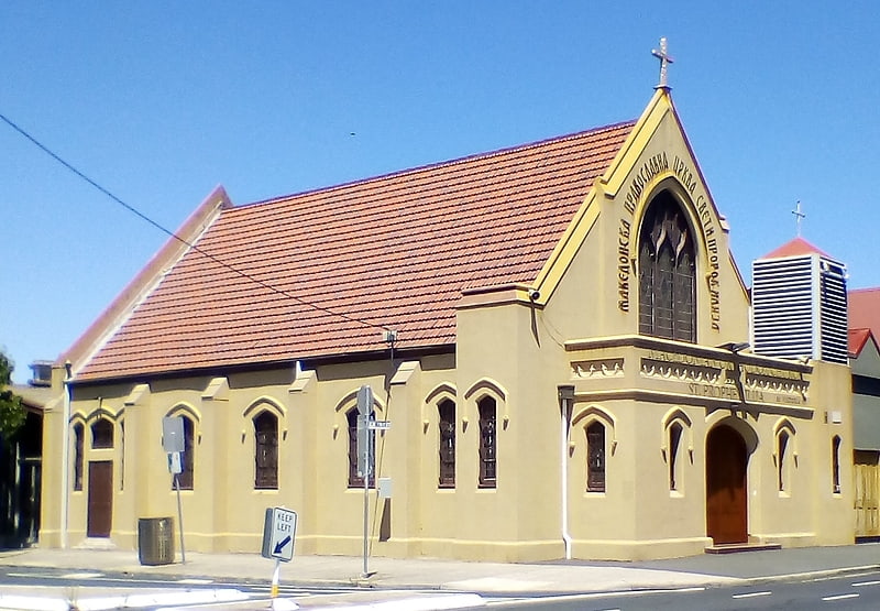
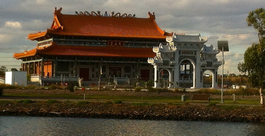
Nearby attractions include St. Prophet Ilija, Melbourne (12 min walk), Melbourne/Footscray, Melbourne (13 min walk), Footscray Park, Melbourne (21 min walk), Heavenly Queen Temple, Melbourne (21 min walk).
How to get to Footscray Town Hall by public transport?
The nearest stations to Footscray Town Hall:
Bus
Train
Tram
Bus
- Napier St/Hyde St • Lines: 409 (1 min walk)
- Hyde St/Bristow St • Lines: 409 (4 min walk)
Train
- Footscray (7 min walk)
- Seddon (11 min walk)
Tram
- Stop 64: Footscray Station • Lines: 82 (7 min walk)
- Stop 63: Hopkins Street (9 min walk)