Melbourne Markets, Melbourne
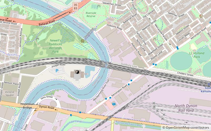
Map
Facts and practical information
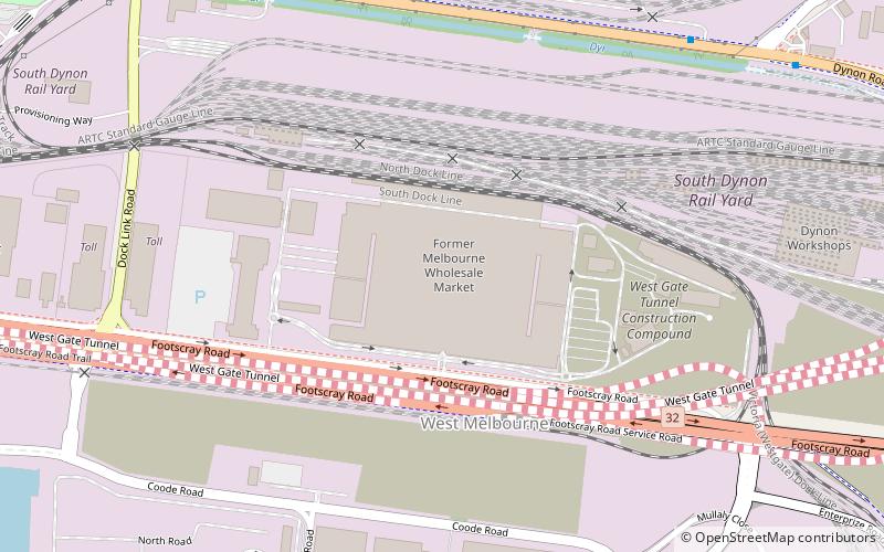
Melbourne Market, more formally the Melbourne Wholesale Fruit & Vegetable Markets, is the main wholesale produce market for Melbourne, Australia, and the wider state of Victoria. Located in the outer northern suburb of Epping and operated by the Melbourne Market Authority, the Market provides for the wholesale distribution of fruit, vegetables and flowers to the Melbourne region daily. ()
Coordinates: 37°48'23"S, 144°55'23"E
Getting there by public transportation
Public transportation stops near this location
- Bus
- Tram
- Train
 Bus
Bus
- Calculate routeLloyd Street/Dynon Road 12 min walk
- Calculate routeHobsons Road 15 min walk
- Calculate routeMercantile Parade/Kensington Road 17 min walk
- Calculate routeDerby St 21 min walk
- Calculate routeSouth Kensington 13 min walk
- Calculate routeKensington 25 min walk
- Calculate routeNorth Melbourne 27 min walk
- Calculate routeMacaulay 28 min walk
- Calculate routeStop D11: The District 26 min walk
- Calculate routeStop D10: NewQuay Promenade 28 min walk
- Calculate routeStop D18: Victoria Harbour Docklands 37 min walk
- Calculate routeStop 20: Melrose Street 41 min walk
Maps Melbourne TramsMaps
 Victoria Trains
Melbourne TramsMapsVictoria TrainsDay trips


Frequently Asked Questions (FAQ)
Which popular attractions are close to Melbourne Markets?
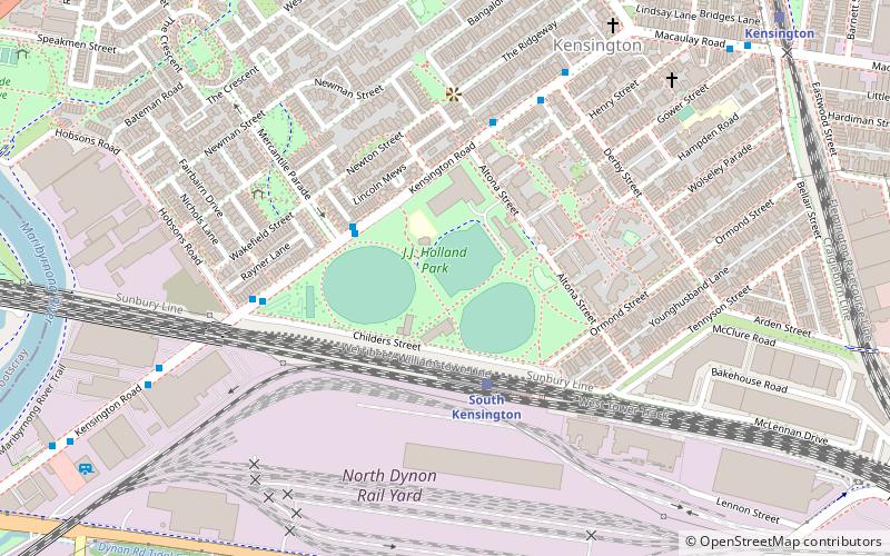
Nearby attractions include J.J. Holland Park, Melbourne (16 min walk), Swanson Dock, Melbourne (16 min walk), Appleton Dock, Melbourne (16 min walk), Saltwater River Rail Bridge, Melbourne (17 min walk).
How to get to Melbourne Markets by public transport?
The nearest stations to Melbourne Markets:
Bus
Train
Tram
Bus
- Lloyd Street/Dynon Road • Lines: 216 (12 min walk)
- Hobsons Road • Lines: 402 (15 min walk)
Train
- South Kensington (13 min walk)
- Kensington (25 min walk)
Tram
- Stop D11: The District • Lines: 35, 70, 70d, 86, 86d (26 min walk)
- Stop D10: NewQuay Promenade • Lines: 35, 70, 70d, 86, 86d (28 min walk)