Union Bank, Perth
Map
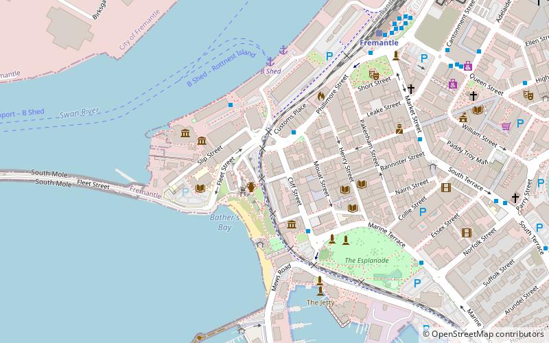
Map

Facts and practical information
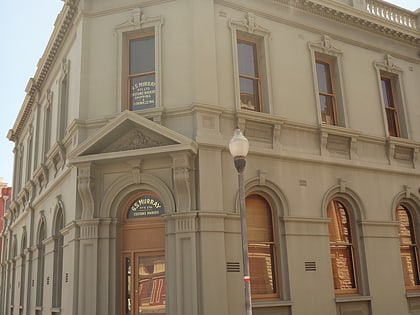
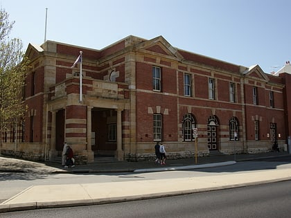
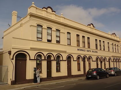
The site of 4 High Street was purchased by the Union Bank of Australia in 1881 and for several years the bank operated from the existing building, which had been the residence of Captain Daniel Scott. A new building was erected in 1889 with plans prepared by Melbourne architect William Edward Robertson, the construction was supervised by James Wright. ()
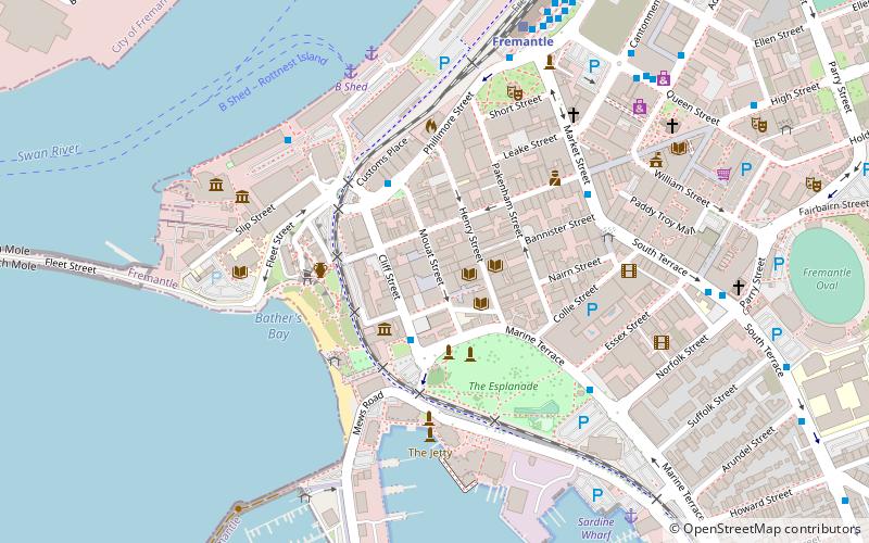
Coordinates: 32°3'21"S, 115°44'31"E
Address
FremantlePerth
ContactAdd
Social media
Add
Day trips
Union Bank – popular in the area (distance from the attraction)
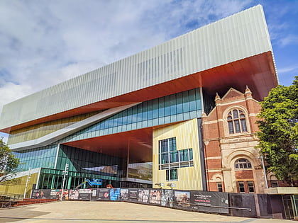
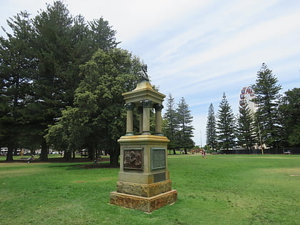
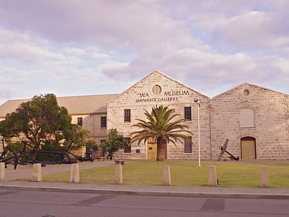
Nearby attractions include: Western Australian Museum, E Shed Markets, Explorers' Monument, Fremantle Customs House.
Frequently Asked Questions (FAQ)
Which popular attractions are close to Union Bank?
Nearby attractions include Wilhelmsen House, Perth (1 min walk), 7 High Street, Perth (2 min walk), Fremantle Customs House, Perth (2 min walk), Reckitt & Colman Building Facade, Perth (2 min walk).
How to get to Union Bank by public transport?
The nearest stations to Union Bank:
Bus
Ferry
Train
Bus
- Victoria Quay • Lines: 6, 7 (3 min walk)
- Fishing Boat Harbour • Lines: 7 (4 min walk)
Ferry
- B Shed • Lines: Express, SeaLink (6 min walk)
- Northport Rous Head • Lines: Express (20 min walk)
Train
- Fremantle (9 min walk)
