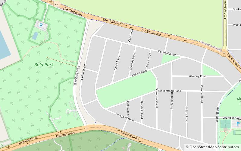
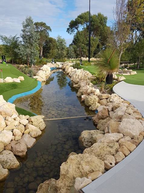
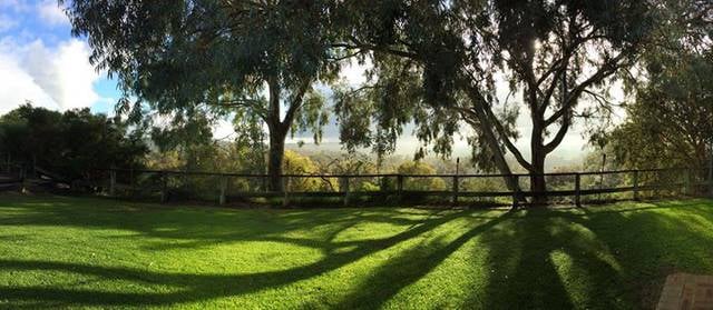
Perth Wetlands, Perth
Map
Facts and practical information
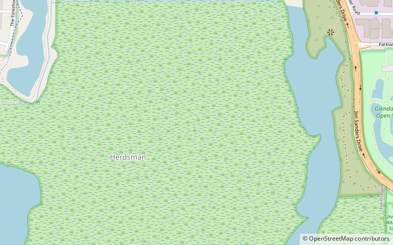
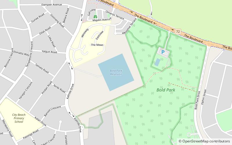
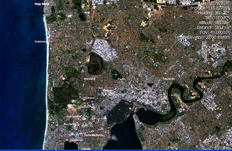
The Perth Wetlands, also known as the Perth Great Lakes or the Great Lakes District, was a collection of fresh-water wetlands, swamps and lakes located on the Swan Coastal Plain north of the city of Perth in Western Australia. Over a period of 80 years from the first British settlement in Western Australia in 1829 most of the wetlands were reclaimed for use as housing, parks and market gardens. ()
Elevation: 33 ft a.s.l.Coordinates: 31°55'12"S, 115°48'25"E
Address
ChurchlandsPerth
ContactAdd
Social media
Add
Getting there by public transportation
Public transportation stops near this location
- Bus
- Train
 Bus
Bus
- Calculate routeHasler Road after Gould Street 14 min walk
- Calculate routeGlendalough 26 min walk
Day trips


Frequently Asked Questions (FAQ)
How to get to Perth Wetlands by public transport?
The nearest stations to Perth Wetlands:
Bus
Train
Bus
- Hasler Road after Gould Street • Lines: 407 (14 min walk)
Train
- Glendalough (26 min walk)