Lake Monger, Perth
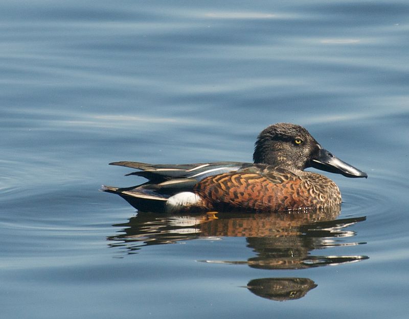
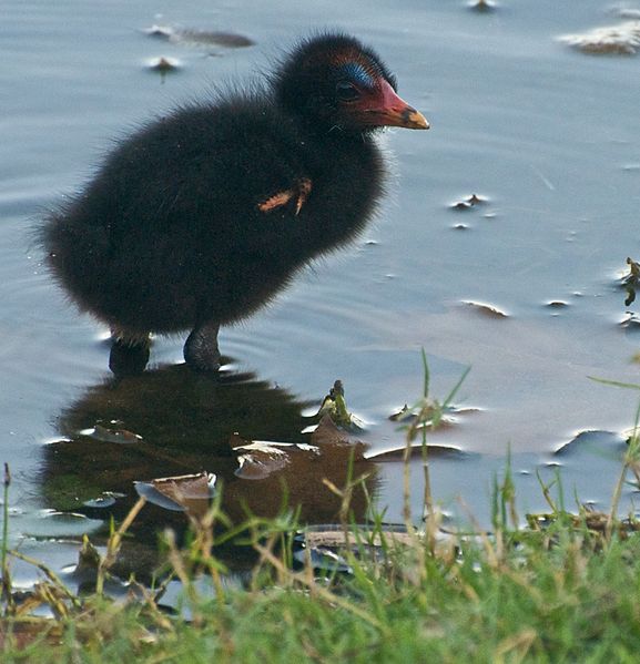
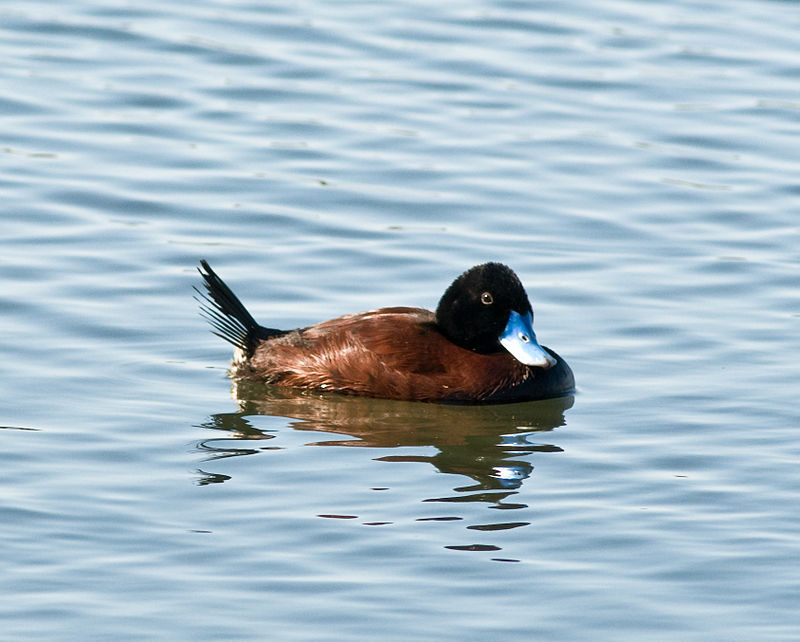
Gallery (5)
Map

Map

Gallery
Facts and practical information
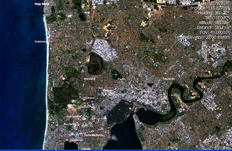
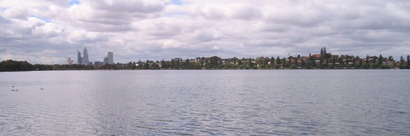
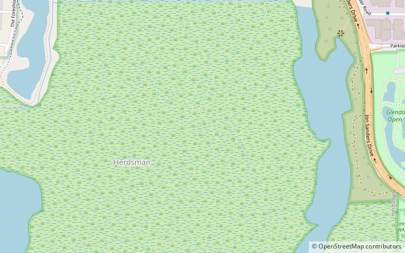
Lake Monger is a large urban wetland on the Swan Coastal Plain in suburban Perth, Western Australia nestled between the suburbs of Leederville, Wembley and Glendalough. ()
Elevation: 36 ft a.s.l.Coordinates: 31°55'46"S, 115°49'41"E
Address
Lake Monger DrWembleyPerth
ContactAdd
Social media
Add
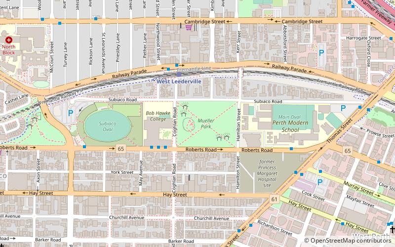
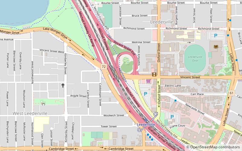
Getting there by public transportation
Public transportation stops near this location
- Bus
- Train
 Bus
Bus
- Calculate routeWest Leederville 25 min walk
- Calculate routeLeederville 25 min walk
- Calculate routeGlendalough 27 min walk
- Calculate routeSubiaco 28 min walk
- Calculate routeParkland Road after Harborne Street 26 min walk
- Calculate routeLeederville Station 27 min walk
- Calculate routeHarborne Street after Parkland Road 27 min walk
- Calculate routeLeederville Station Stand 2 27 min walk
Day trips


Frequently Asked Questions (FAQ)
Which popular attractions are close to Lake Monger?
Nearby attractions include Anzac Cottage, Perth (15 min walk), Vincent Street, Perth (20 min walk).
How to get to Lake Monger by public transport?
The nearest stations to Lake Monger:
Train
Bus
Train
- West Leederville (25 min walk)
- Leederville (25 min walk)
Bus
- Parkland Road after Harborne Street • Lines: 407 (26 min walk)
- Leederville Station • Lines: 5F, 5T (27 min walk)