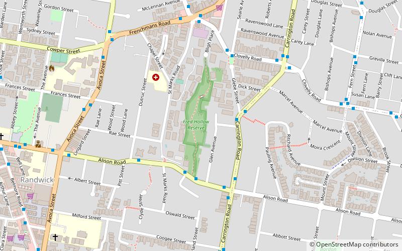
Fred Hollows Reserve, Sydney
Map

Map

Facts and practical information
Established: 1970 (56 years ago)Elevation: 184 ft a.s.l.Coordinates: 33°54'44"S, 151°14'53"E
Day trips
Fred Hollows Reserve – popular in the area (distance from the attraction)
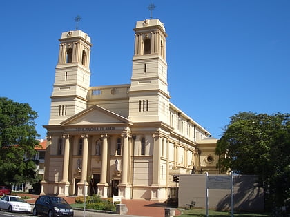
Nearby attractions include: Centennial Park, Waverley Cemetery, Wylie's Baths, Mary Immaculate Catholic Church.
Frequently Asked Questions (FAQ)
Which popular attractions are close to Fred Hollows Reserve?
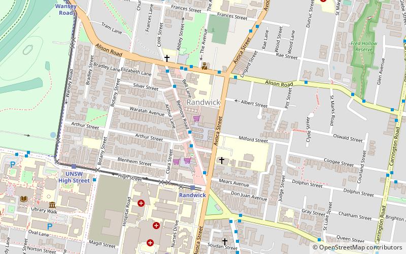
Nearby attractions include Randwick Town Hall, Sydney (7 min walk), St Jude's Church, Sydney (9 min walk), Nugal Hall, Sydney (9 min walk), Hooper Cottage, Sydney (11 min walk).
How to get to Fred Hollows Reserve by public transport?
The nearest stations to Fred Hollows Reserve:
Bus
Light rail
Bus
- Randwick, Avoca Street Nr Astolat • Lines: 418 (9 min walk)
- Byron Street (14 min walk)
Light rail
- Randwick • Lines: L2 (14 min walk)
- Wansey Road • Lines: L2 (19 min walk)

 Sydney Trains
 Sydney Light Rail
 Sydney Ferries


