Centennial Parklands, Sydney
Map
Gallery
Facts and practical information
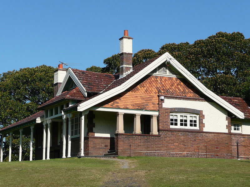
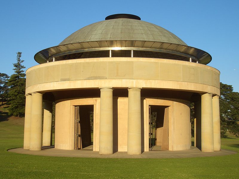
Centennial Parklands is the name given to a group of three urban parklands located in the eastern suburbs of Sydney, New South Wales, Australia. Comprising approximately 360 hectares, the lands encompass Centennial Park, Moore Park and Queen's Park. The Parklands are listed on the New South Wales Heritage Register, with various components of national, state or local heritage significance. The parks are contained within the local government areas of City of Randwick, Waverley Municipal Council, and City of Sydney. ()
Created: 1816Elevation: 118 ft a.s.l.Coordinates: 33°53'57"S, 151°14'2"E
Day trips
Centennial Parklands – popular in the area (distance from the attraction)
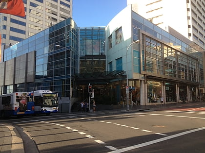
Nearby attractions include: Centennial Park, Westfield Bondi Junction, Sydney Cricket Ground, Fox Studios Australia.
Frequently Asked Questions (FAQ)
Which popular attractions are close to Centennial Parklands?
Nearby attractions include Centennial Park, Sydney (2 min walk), Busby's Bore, Sydney (10 min walk), The Entertainment Quarter, Sydney (15 min walk), Centennial Park Reservoir, Sydney (16 min walk).
How to get to Centennial Parklands by public transport?
The nearest stations to Centennial Parklands:
Light rail
Bus
Train
Light rail
- Royal Randwick • Lines: L2 (13 min walk)
- ES Marks • Lines: L3 (19 min walk)
Bus
- Randwick, Avoca Street nr Darley Road • Lines: 418 (18 min walk)
- Newland Street near Birrell Street • Lines: 418 (20 min walk)
Train
- Bondi Junction (26 min walk)



 Sydney Trains
 Sydney Light Rail
 Sydney Ferries
