Mount Gingera, Bimberi Nature Reserve
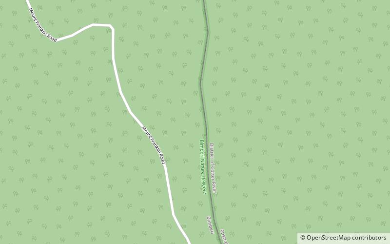
Map
Map

Facts and practical information
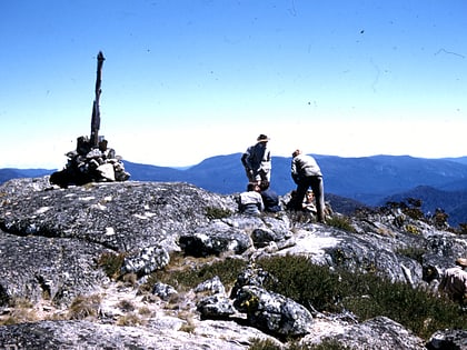
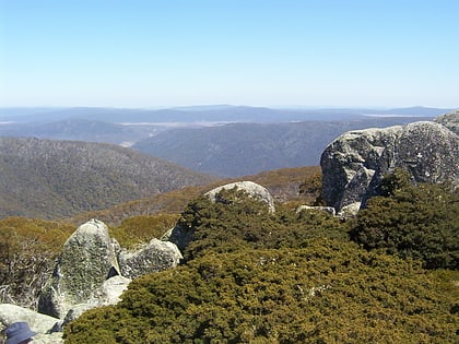
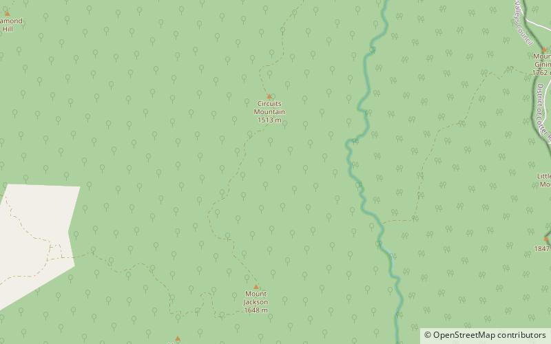
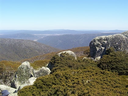
Mount Gingera is a mountain with an elevation of 1,857 metres AHD located within the Brindabella Range on the border between the Australian Capital Territory and New South Wales in Australia. The summit of the mountain is located within the ACT, and is the second highest peak in the territory. ()
Elevation: 6093 ftProminence: 1171 ftCoordinates: 35°34'60"S, 148°46'59"E
Address
Bimberi Nature Reserve
ContactAdd
Social media
Add
Day trips
Mount Gingera – popular in the area (distance from the attraction)
Nearby attractions include: Bimberi Peak, Gibraltar Falls, Brindabella Range, Ginini Flats Wetlands Ramsar Site.

