Gibraltar Falls

Gallery (1)
Map
Map
Facts and practical information
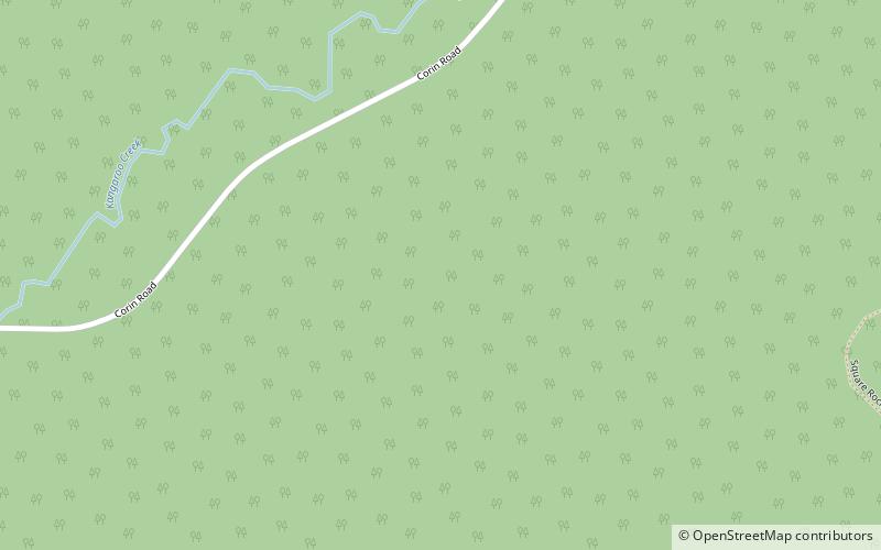
The Gibraltar Falls are a cascade waterfall on the Gibraltar Creek, in the Australian Capital Territory, approximately 50 kilometres from Canberra's city centre, The falls have a 50-metre drop. ()
Height: 164 ftCoordinates: 35°32'15"S, 148°52'41"E
Day trips


