Cape Jervis Lighthouse, Cape Jervis

Gallery (1)
Map
Map
Facts and practical information
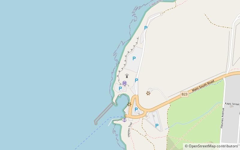
Cape Jervis Lighthouse is a lighthouse located at the headland of Cape Jervis on the most westerly part of the Fleurieu Peninsula on the east coast of Gulf St Vincent in South Australia. ()
Coordinates: 35°36'13"S, 138°5'38"E
Address
Cape Jervis
ContactAdd
Social media
Add
Day trips


