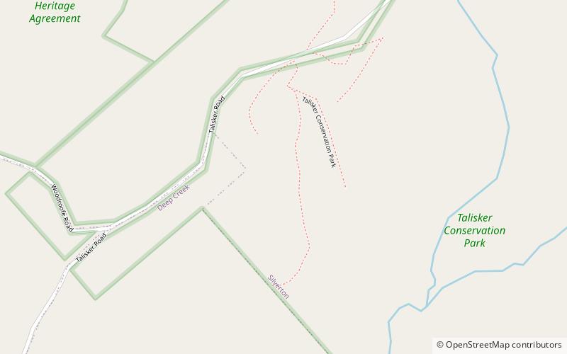
Talisker Conservation Park
Map

Map

Facts and practical information
Talisker Conservation Park is a protected area in the Australian state of South Australia located on the south-western area of the Fleurieu Peninsula near the town of Cape Jervis and adjacent to Deep Creek Conservation Park. The conservation park covers 211 ha including areas of thick scrub, some steep walking tracks and the heritage-listed remains of a nineteenth century silver and lead mine. ()
Location
South Australia
ContactAdd
Social media
Add
Day trips
Talisker Conservation Park – popular in the area (distance from the attraction)
Nearby attractions include: Cape Jervis Lighthouse, Rapid Bay, Second Valley, Deep Creek Conservation Park.


