Flaxton

Gallery (1)
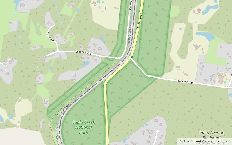
Map
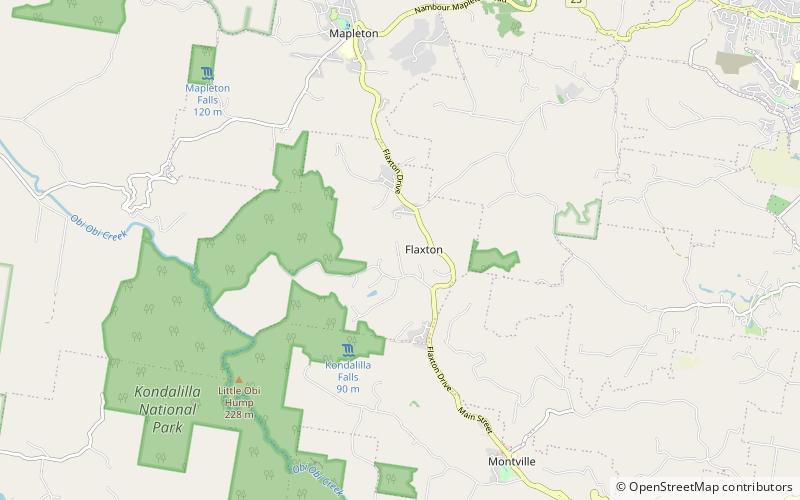
Map
Facts and practical information
Flaxton is a rural locality in the Sunshine Coast Region, Queensland, Australia. In the 2016 census, Flaxton had a population of 931 people. ()
Population: ~970 pplCoordinates: 26°39'27"S, 152°52'26"E
Location
Queensland
ContactAdd
Social media
Add
Day trips