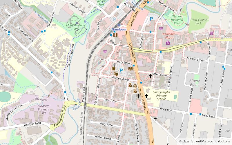
Trek Zone

Lind Lane, Nambour

#2 among attractions in Nambour

Concerts and shows, Theater
Lind Lane

Facts and practical information

Lind Lane (address: 16 Mitchell Street) is a place located in Nambour (Queensland state) and belongs to the category of concerts and shows, theater.

It is situated at an altitude of 82 feet, and its geographical coordinates are 26°37'43"S latitude and 152°57'29"E longitude.

Among other places and attractions worth visiting in the area are: Nambour & District Historical Museum (shopping, 3 min walk), Woombye Community & Business Association, Woombye (library, 57 min walk), Wildlife HQ Zoo (zoo, 94 min walk).

Coordinates: 26°37'43"S, 152°57'29"E
Address

16 Mitchell StreetNambour Australia

Contact
Social media
Add

Nambour plan & book

Unleash the traveler in you — discover the cheapest flight deals, find the perfect hotel or hostel nearby, and search for the best car rental prices. Travel at your own pace to discover new places and enjoy your journey.

Day trips

Lind Lane – popular in the area (distance from the attraction)

Nearby attractions include: Nambour & District Historical Museum, Wappa Dam, Wildlife HQ Zoo, Tramway Lift Bridge over Maroochy River.

  • nambour district historical museum~600 ftNW
  • wappa dam4.6 miNW
  • queensland zoo location map
    3.7 miSE
  • tramway lift bridge over maroochy river sunshine coast5.3 miNE
  • montville memorial precinct5.8 miSW
  • ewen maddock dam sunshine coast location map
    4.7 miSE
  • woombye community business association2.2 miS
  • eudlo creek national park location map
    5.5 miS
  • flaxton5.6 miW
  • palmwoods4 miS

Where to next? Visit queensland Queensland region page or discover the top tourist attractions in Australia.