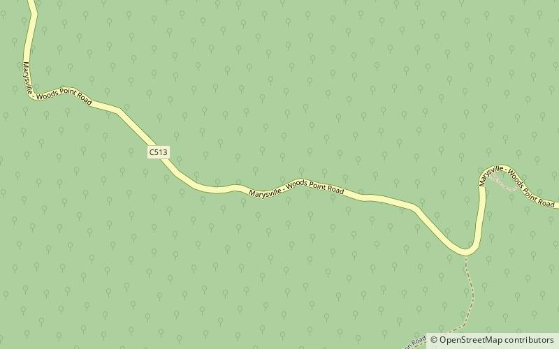
The Big Culvert, Yarra Ranges National Park

Map
Facts and practical information
The Big Culvert is a substantial granite and bluestone arch culvert bridge on the historic Yarra Track near Cambarville, Victoria, Australia. ()
Coordinates: 37°33'32"S, 145°52'1"E
Address
Yarra Ranges Shire (Cambarville)Yarra Ranges National Park
ContactAdd
Social media
Add
Day trips
The Big Culvert – popular in the area (distance from the attraction)
Nearby attractions include: Lake Mountain, Steavenson Falls, Wilks Creek Bridge.


