Wilks Creek Bridge, Yarra Ranges National Park

Gallery (1)
Map
Map
Facts and practical information
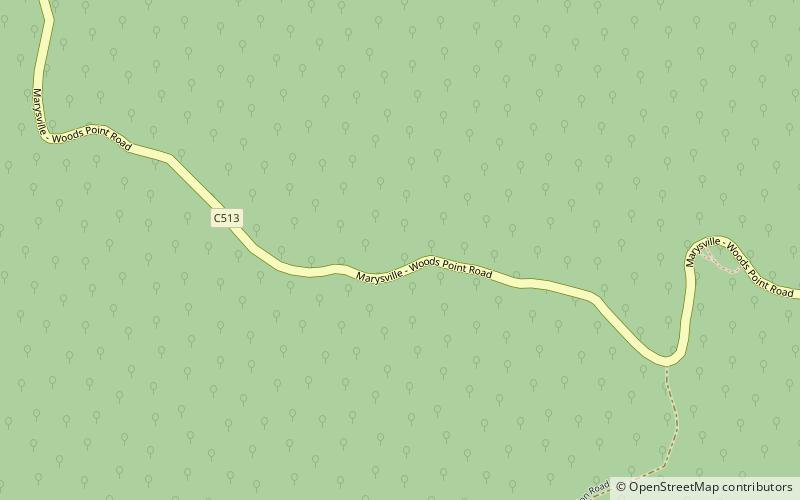
Wilks Creek Bridge is a former timber and bluestone road bridge on the Yarra Track, located just off the Black Spur route, between Narbethong and Marysville, Victoria, Australia. ()
Coordinates: 37°33'32"S, 145°52'1"E
Address
Yarra Ranges Shire (Cambarville)Yarra Ranges National Park
ContactAdd
Social media
Add
Day trips

