Victoria Bridge, Brisbane
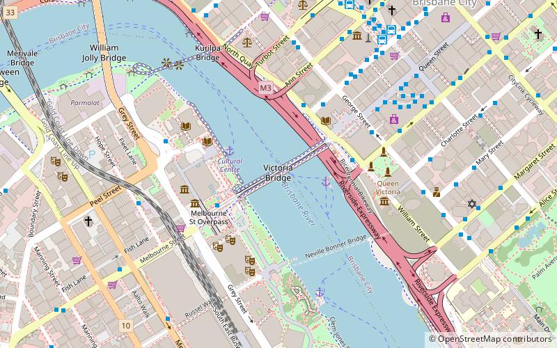
Map
Gallery
Facts and practical information
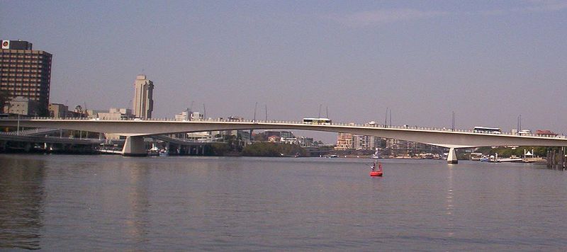
The Victoria Bridge is a vehicular and pedestrian bridge over the Brisbane River. The current bridge, opened in 1969, is the third permanent crossing erected at this location. Since 24 January 2021, the bridge was closed to general traffic and carried buses, pedestrians and cyclists only. ()
Opened: 1969 (57 years ago)Length: 1027 ftCoordinates: 27°28'21"S, 153°1'16"E
Day trips
Victoria Bridge – popular in the area (distance from the attraction)
Nearby attractions include: Queen Street Mall, QAGOMA, The Myer Centre, Brisbane Arcade.
Frequently Asked Questions (FAQ)
Which popular attractions are close to Victoria Bridge?
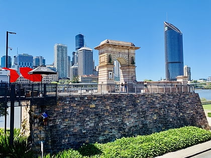
Nearby attractions include Northbank, Brisbane (2 min walk), William Street, Brisbane (2 min walk), Victoria Bridge Abutment, Brisbane (3 min walk), Brisbane Square Library, Brisbane (3 min walk).
How to get to Victoria Bridge by public transport?
The nearest stations to Victoria Bridge:
Ferry
Bus
Train
Ferry
- North Quay 1 • Lines: Chop-400, Uqsl-1410 (3 min walk)
- North Quay 2 • Lines: Chop-400 (3 min walk)
Bus
- Cultural Centre station, platform 2 • Lines: 100, 204, 330, 333, 444, 460, 61, N100, N339 (4 min walk)
- Cultural Centre station, platform 1 • Lines: 100, 204, 330, 333, 444, 460, 61 (4 min walk)
Train
- Central (14 min walk)
- Roma Street (15 min walk)


