Sturt Street Gardens, Ballarat
Map
Gallery
Facts and practical information
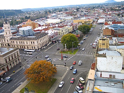
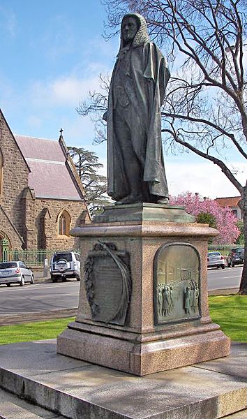
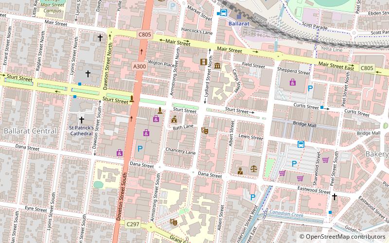
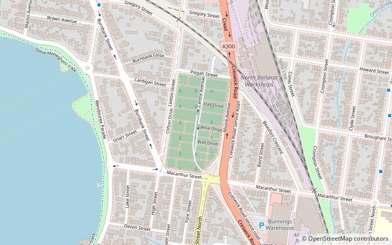
The Sturt Street Gardens is a central reservation running along Sturt Street, one of the main thoroughfares of Ballarat,. The formal gardens span 13 city blocks from Grenville Street in the east to Pleasant Street in the west, are 20 metres wide and cover an area of 2.87 hectares running east–west. ()
Elevation: 1480 ft a.s.l.Coordinates: 37°33'41"S, 143°50'56"E
Day trips
Sturt Street Gardens – popular in the area (distance from the attraction)
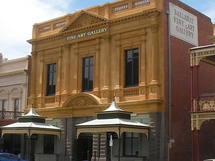
Nearby attractions include: Sovereign Hill, Art Gallery of Ballarat, National Centre for Photography, Post Office Gallery.
Frequently Asked Questions (FAQ)
Which popular attractions are close to Sturt Street Gardens?
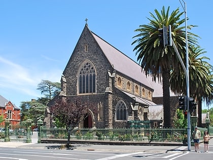
Nearby attractions include Jolly Joker Costumes, Ballarat (3 min walk), St Patrick's Cathedral, Ballarat (6 min walk), Macarthur Frameworks and Gallery, Ballarat (6 min walk), National Centre for Photography, Ballarat (12 min walk).
How to get to Sturt Street Gardens by public transport?
The nearest stations to Sturt Street Gardens:
Bus
Train
Bus
- Ballarat Station (15 min walk)
- Ballarat City • Lines: 1, 10, 11, 12, 13, 14, 2, 3, 5, 7 (19 min walk)
Train
- Ballarat (16 min walk)
