National Centre for Photography, Ballarat
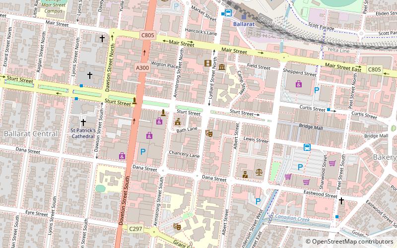
Map
Facts and practical information
The National Centre for Photography, sited in the regional city of Ballarat in Victoria, Australia exhibits, promotes, archives, and provides education, in photography. ()
Coordinates: 37°33'45"S, 143°51'27"E
Address
Ballarat
ContactAdd
Social media
Add
Getting there by public transportation
Public transportation stops near this location
- Bus
- Train
 Bus
Bus
- Calculate routeBallarat City 7 min walk
- Calculate routeBallarat Station 7 min walk
- Calculate routeBradshaw street 28 min walk
- Calculate routeBallarat 7 min walk
Day trips


Frequently Asked Questions (FAQ)
Which popular attractions are close to National Centre for Photography?
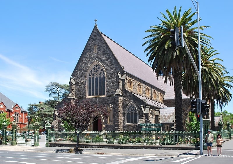
Nearby attractions include Post Office Gallery, Ballarat (2 min walk), Art Gallery of Ballarat, Ballarat (4 min walk), Ballarat Gaol, Ballarat (6 min walk), St Patrick's Cathedral, Ballarat (7 min walk).
How to get to National Centre for Photography by public transport?
The nearest stations to National Centre for Photography:
Bus
Train
Bus
- Ballarat City • Lines: 1, 10, 11, 12, 13, 14, 2, 3, 5, 7 (7 min walk)
- Ballarat Station (7 min walk)
Train
- Ballarat (7 min walk)