William Jolly Bridge, Brisbane
Map
Gallery
Facts and practical information
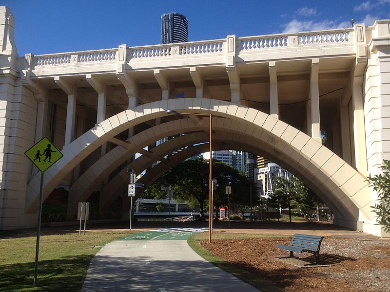
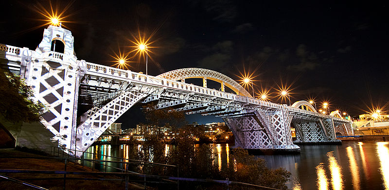
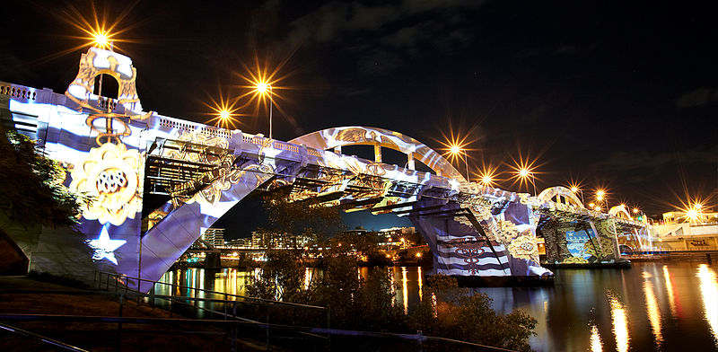
The William Jolly Bridge is a heritage-listed road bridge over the Brisbane River between North Quay in the Brisbane CBD and Grey Street in South Brisbane, within City of Brisbane, Queensland, Australia. It was designed by A E Harding Frew and built from 1928 to 1932 by M R Hornibrook Ltd. ()
Opened: 30 March 1932 (93 years ago)Coordinates: 27°28'7"S, 153°0'58"E
Day trips
William Jolly Bridge – popular in the area (distance from the attraction)
Nearby attractions include: Gallery of Modern Art, QAGOMA, Queensland Museum, Suncorp Stadium.
Frequently Asked Questions (FAQ)
Which popular attractions are close to William Jolly Bridge?
Nearby attractions include North Quay, Brisbane (3 min walk), Kurilpa Bridge, Brisbane (4 min walk), First Brisbane Burial Ground, Brisbane (4 min walk), Gallery of Modern Art, Brisbane (4 min walk).
How to get to William Jolly Bridge by public transport?
The nearest stations to William Jolly Bridge:
Bus
Train
Ferry
Bus
- North Quay Stop 106 near Herschel St • Lines: 471 (4 min walk)
- Roma Street at Upper Roma Street, stop 3 • Lines: 470, 475, 476 (5 min walk)
Train
- Roma Street (8 min walk)
- Central (17 min walk)
Ferry
- North Quay 1 • Lines: Chop-400, Uqsl-1410 (13 min walk)
- North Quay 2 • Lines: Chop-400 (13 min walk)


