Merivale Bridge, Brisbane
Map

Gallery

Facts and practical information
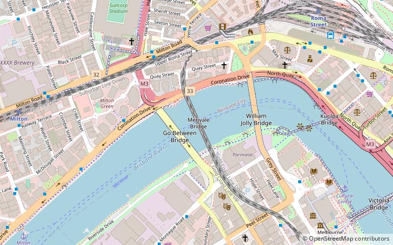
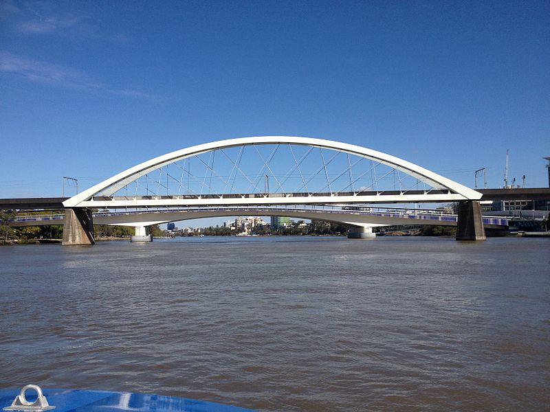
The Merivale Bridge is a double track railway bridge crossing the Brisbane River. It crosses the Milton Reach of the river, slightly to the west of the William Jolly Bridge. Exclusively a railway crossing, it is located between the stations of South Brisbane and Roma Street, linking the northern and southern elements of the Queensland Rail City network. The Merivale Bridge is the only inner-city rail crossing in Brisbane. By 2016 it was expected to be over capacity, leading the Queensland Government to announce the Cross River Rail project. ()
Opened: 18 November 1978 (47 years ago)Coordinates: 27°28'9"S, 153°0'47"E
Day trips
Merivale Bridge – popular in the area (distance from the attraction)
Nearby attractions include: Gallery of Modern Art, QAGOMA, Queensland Museum, Suncorp Stadium.
Frequently Asked Questions (FAQ)
Which popular attractions are close to Merivale Bridge?
Nearby attractions include Go Between Bridge, Brisbane (2 min walk), Coronation Drive retaining wall, Brisbane (4 min walk), William Jolly Bridge, Brisbane (5 min walk), Bille Brown Theatre, Brisbane (6 min walk).
How to get to Merivale Bridge by public transport?
The nearest stations to Merivale Bridge:
Bus
Train
Ferry
Bus
- Coronation Dr at Boomerang St, stop 3 • Lines: 412, 471 (5 min walk)
- Milton Rd at Suncorp, stop 3/4 • Lines: 470, 475 (6 min walk)
Train
- Roma Street (12 min walk)
- Milton (13 min walk)
Ferry
- North Quay 1 • Lines: Chop-400, Uqsl-1410 (16 min walk)
- North Quay 2 • Lines: Chop-400 (17 min walk)


