Queen Victoria Gardens, Melbourne
Map
Gallery
Facts and practical information
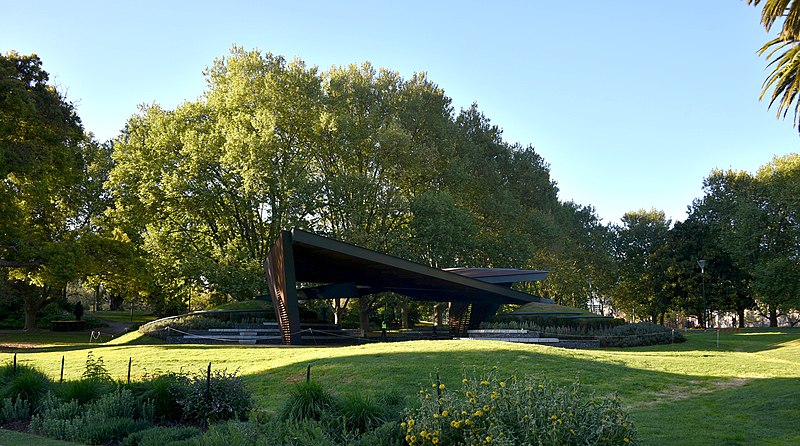
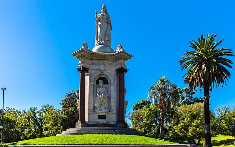
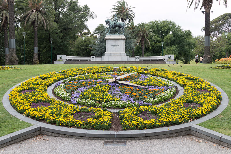
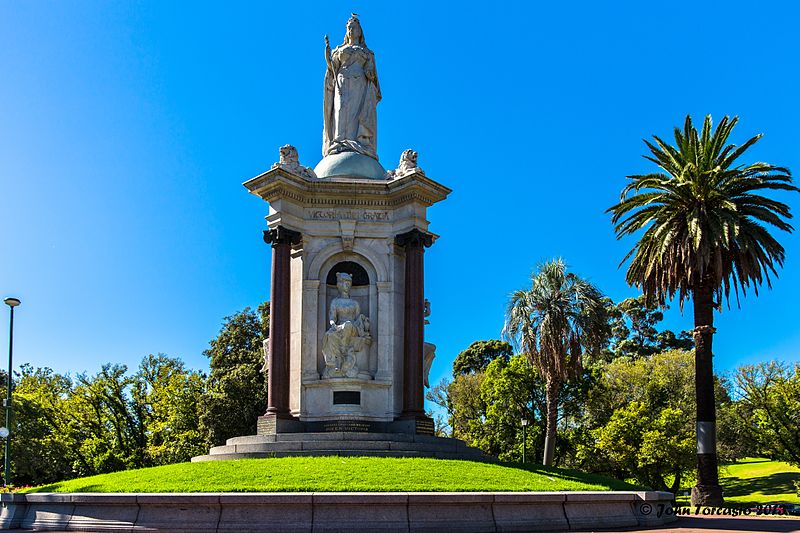
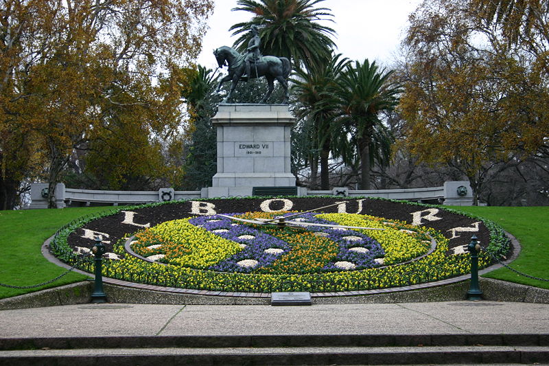
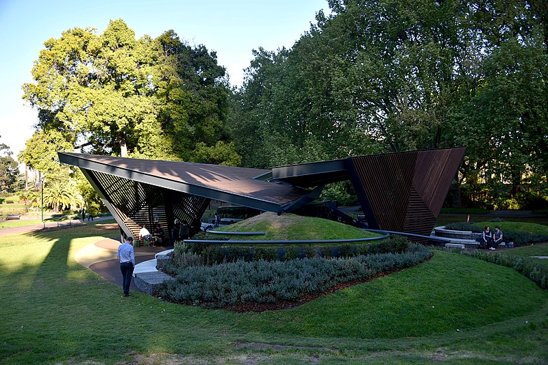
The Queen Victoria Gardens are Melbourne's memorial to Queen Victoria. Located on 4.8 hectares opposite the Victorian Arts Centre and National Gallery of Victoria, bounded by St Kilda Road, Alexandra Avenue and Linlithgow Avenue. ()
Opened: 1905 (121 years ago)Elevation: 56 ft a.s.l.Coordinates: 37°49'18"S, 144°58'19"E
Day trips
Queen Victoria Gardens – popular in the area (distance from the attraction)
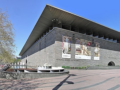
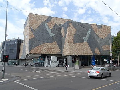
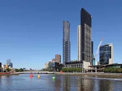
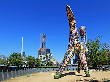
Nearby attractions include: National Gallery of Victoria, ACMI, Federation Square, Eureka Skydeck 88.
Frequently Asked Questions (FAQ)
Which popular attractions are close to Queen Victoria Gardens?
Nearby attractions include Kings Domain Resting Place, Melbourne (2 min walk), Alexandra Gardens, Melbourne (3 min walk), Arts Centre Melbourne, Melbourne (5 min walk), State Theatre, Melbourne (5 min walk).
How to get to Queen Victoria Gardens by public transport?
The nearest stations to Queen Victoria Gardens:
Tram
Bus
Train
Tram
- Stop 14: Arts Precinct • Lines: 1, 16, 16d, 3, 3a, 5, 6, 64, 64d, 67, 67d, 6d, 72 (4 min walk)
- Stop 17: Grant Street - Police Memorial • Lines: 16, 16d, 3, 3a, 5, 6, 64, 64d, 67, 67d, 6d, 72 (6 min walk)
Bus
- Arts Centre • Lines: 109 (5 min walk)
- Victorian College of the Arts/Southbank Boulevard • Lines: 605 (7 min walk)
Train
- Flinders Street (10 min walk)
- Jolimont (19 min walk)


 Melbourne Trams
 Victoria Trains