Capital City Trail, Melbourne
Facts and practical information
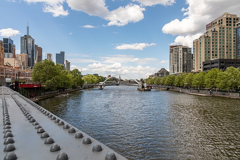
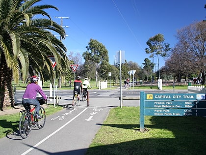
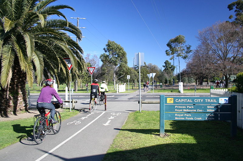
The Capital City Trail is a vibrant urban bike path that encircles the heart of Melbourne, Australia, offering both locals and visitors a unique way to experience the city's diverse landscapes. This well-maintained circuit stretches for approximately 29 kilometers and is a favorite among cyclists, joggers, and walkers, providing a scenic and safe route through Melbourne's inner suburbs.
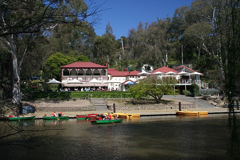
Established as a continuous loop, the Capital City Trail passes through several of Melbourne's parklands, including the lush Yarra Bend Park and the picturesque Royal Park, as well as iconic attractions like the Melbourne Zoo. It also connects with other major trails, such as the Merri Creek Trail and the Main Yarra Trail, making it an integral part of the city's extensive network of bike paths.
The trail is predominantly flat, making it accessible for riders of all skill levels, and is clearly signposted to guide users through the various sections. It also features numerous entry and exit points, allowing for customizable journeys, whether one is seeking a short, leisurely ride or an ambitious full-circuit adventure.
In addition to its recreational value, the Capital City Trail serves as a green corridor for commuting cyclists, promoting an environmentally friendly mode of transport that helps reduce the city's traffic congestion. The trail is equipped with several amenities, including drinking fountains, rest areas, and bike repair stations, enhancing its user-friendliness.
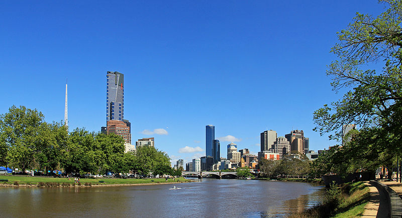
Open all year round, the Capital City Trail invites visitors to explore Melbourne's changing landscapes, from urban art-filled alleyways to serene riverbanks lined with native flora and fauna. It not only showcases the city's commitment to sustainable transport but also its dedication to providing residents and tourists alike with exceptional outdoor experiences.
Capital City TrailCity of Melbourne (Melbourne)Melbourne
Capital City Trail – popular in the area (distance from the attraction)
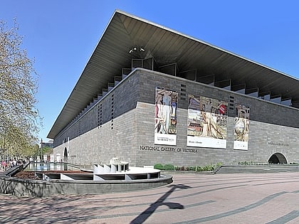
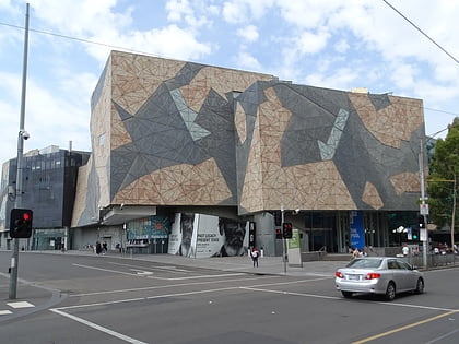
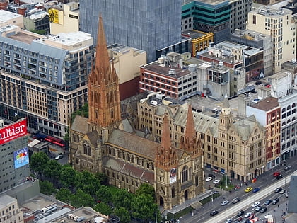
Nearby attractions include: National Gallery of Victoria, ACMI, Federation Square, St Paul's Cathedral.
Frequently Asked Questions (FAQ)
Which popular attractions are close to Capital City Trail?
How to get to Capital City Trail by public transport?
Bus
- Arts Centre • Lines: 109 (3 min walk)
- Victorian College of the Arts/Southbank Boulevard • Lines: 605 (8 min walk)
Tram
- Stop 13: Federation Square • Lines: 1, 16, 16d, 3, 3a, 5, 6, 64, 64d, 67, 67d, 6d, 72 (3 min walk)
- Stop 14: Arts Precinct • Lines: 1, 16, 16d, 3, 3a, 5, 6, 64, 64d, 67, 67d, 6d, 72 (4 min walk)
Train
- Flinders Street (4 min walk)
- Parliament (17 min walk)


 Melbourne Trams
 Victoria Trains