Rocks Riverside Park, Brisbane
Map

Map

Facts and practical information
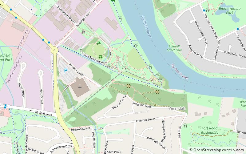
Rocks Riverside Park is a park by the Brisbane River in Seventeen Mile Rocks, Brisbane, Queensland, Australia. The park was opened on 7 December 2003, and features industrial artefacts from its previous use by the Queensland Cement and Lime Company. Public art which draws upon the park's industrial heritage are also featured throughout, as is a crop patch which reflects the site's farming days. ()
Created: 7 December 2003Elevation: 85 ft a.s.l.Coordinates: 27°32'37"S, 152°57'40"E
Address
Counihan Rd.Seventeen Mile RocksBrisbane 4073
ContactAdd
Social media
Add
Day trips
Rocks Riverside Park – popular in the area (distance from the attraction)
Nearby attractions include: Lone Pine Koala Sanctuary, Sherwood Arboretum, Jindalee, Centenary Bridge.
Frequently Asked Questions (FAQ)
Which popular attractions are close to Rocks Riverside Park?
Nearby attractions include Sinnamon Memorial Uniting Church, Brisbane (17 min walk), Lone Pine Koala Sanctuary, Brisbane (22 min walk), Monkton, Brisbane (23 min walk).
How to get to Rocks Riverside Park by public transport?
The nearest stations to Rocks Riverside Park:
Train
Bus
Train
- Oxley (25 min walk)
- Sherwood (37 min walk)
Bus
- Glen Ross Road at Sinnamon Park • Lines: 460 (31 min walk)


