Centenary Bridge, Brisbane
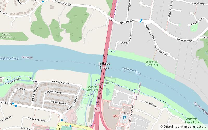
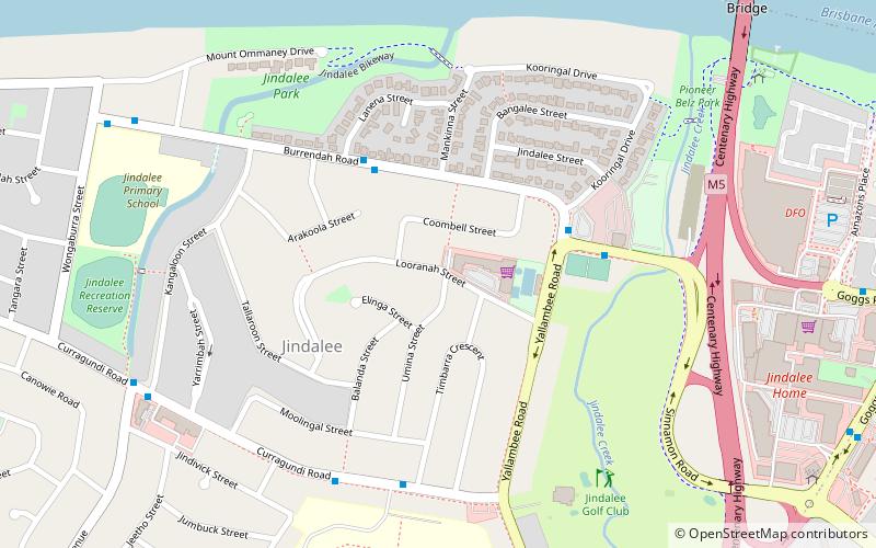
Map

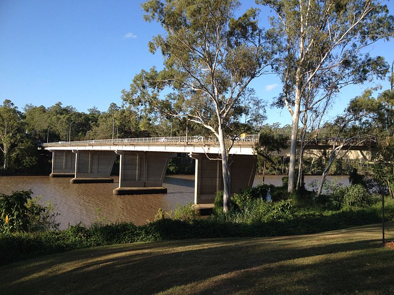
Gallery

Facts and practical information
The Centenary Bridge is a motorway crossing of the Brisbane River. As it forms part of Brisbane's Centenary Motorway, it is used primarily by vehicular traffic, although it includes footpaths for pedestrian traffic. ()
Opened: 1964 (62 years ago)Coordinates: 27°31'39"S, 152°56'49"E
Address
KenmoreBrisbane
ContactAdd
Social media
Add
Day trips
Centenary Bridge – popular in the area (distance from the attraction)
Nearby attractions include: Lone Pine Koala Sanctuary, Mount Coot-tha Lookout, Indooroopilly Shopping Centre, Mt Ommaney Centre.
Frequently Asked Questions (FAQ)
Which popular attractions are close to Centenary Bridge?
Nearby attractions include Jindalee, Brisbane (13 min walk), Sinnamon Memorial Uniting Church, Brisbane (21 min walk).
How to get to Centenary Bridge by public transport?
The nearest stations to Centenary Bridge:
Bus
Bus
- Moggill Road at Misty Morn • Lines: 444 (36 min walk)


