Albert Hall, Launceston
Map
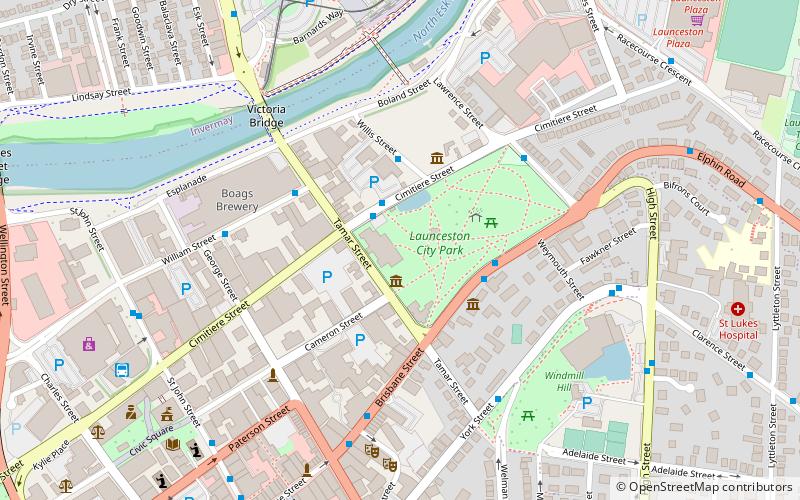
Map

Facts and practical information
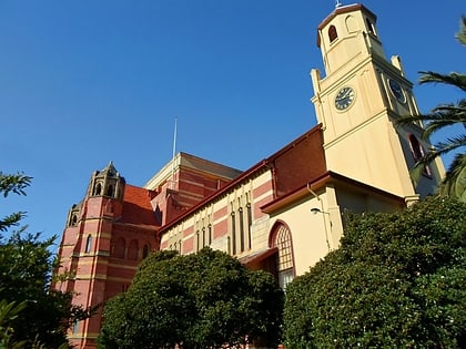
The Albert Hall is a convention centre in Launceston, Tasmania in the style of high Victorian architecture, first opened as the main structure for the Tasmanian Industrial exhibition which ran from 25 November 1891 to 22 March 1892. It is located on the corner of Tamar Street and Cimitiere Street. It was first listed on the Register of the National Estate on 21 March 1978. ()
Coordinates: 41°25'59"S, 147°8'31"E
Day trips
Albert Hall – popular in the area (distance from the attraction)
Nearby attractions include: Launceston Aquatic, City Park, Prince's Square, Queen Victoria Museum and Art Gallery.
Frequently Asked Questions (FAQ)
Which popular attractions are close to Albert Hall?
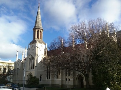
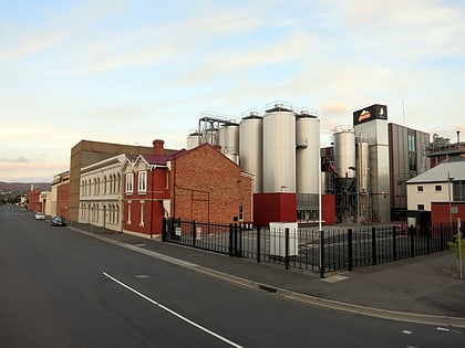
Nearby attractions include City Park, Launceston (2 min walk), National Automobile Museum of Tasmania, Launceston (3 min walk), Boag's Brewery, Launceston (6 min walk), St Andrew's Kirk, Launceston (8 min walk).
How to get to Albert Hall by public transport?
The nearest stations to Albert Hall:
Bus
Train
Bus
- Cornwall Square Transit Centre (9 min walk)
Train
- East Tamar (25 min walk)


