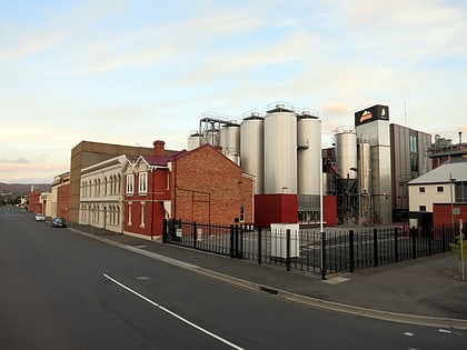
Tamar Marine Launceston, Tamar River Conservation Area
Map
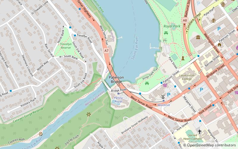
Map

Facts and practical information
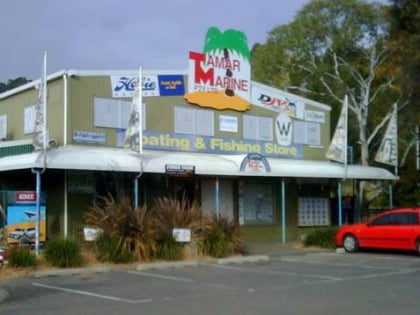
Tamar Marine Launceston (address: 6 - 8 West Tamar Highway) is a place located in Tamar River Conservation Area (Tasmania state) and belongs to the category of bridge.
It is situated at an altitude of 0 feet, and its geographical coordinates are 41°26'23"S latitude and 147°7'41"E longitude.
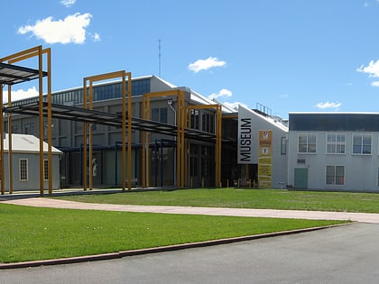
Among other places and attractions worth visiting in the area are: The Mill Providore & Gallery, Launceston (museum, 2 min walk), Queen Victoria Museum and Art Gallery, Launceston (museum, 9 min walk), Seaport Launceston (sailing, 13 min walk).
Coordinates: 41°26'23"S, 147°7'41"E
Day trips
Tamar Marine Launceston – popular in the area (distance from the attraction)
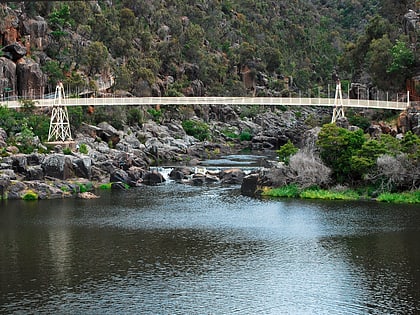
Nearby attractions include: Cataract Gorge, Launceston Aquatic, City Park, Prince's Square.
Frequently Asked Questions (FAQ)
Which popular attractions are close to Tamar Marine Launceston?
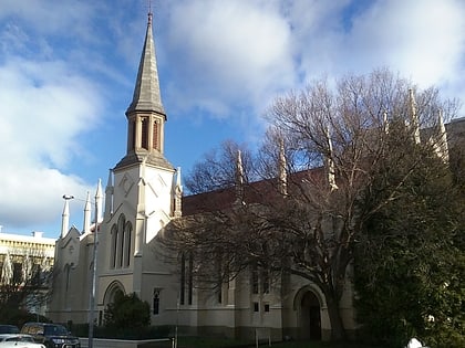
Nearby attractions include The Mill Providore & Gallery, Launceston (2 min walk), Queen Victoria Museum and Art Gallery, Launceston (9 min walk), Seaport Launceston, Tamar River Conservation Area (13 min walk), St Andrew's Kirk, Launceston (15 min walk).
