Melbourne Observatory, Melbourne
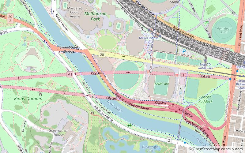
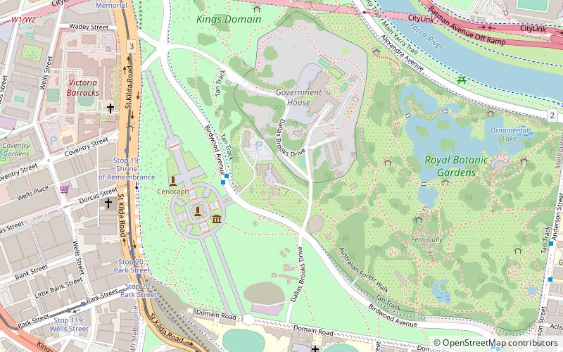
Map
Gallery
Facts and practical information
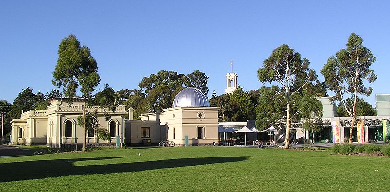
Melbourne Observatory is an observatory located on a hill adjacent to the Royal Botanic Gardens Victoria. The observatory commenced operations in 1862 and was decommissioned from official Government work in 1945. The observatory has since continued as an astronomical observatory and remains open to the public. Melbourne Observatory is also permanently on the Australian National Heritage List under 'Melbourne's Domain Parkland and Memorial Precinct' since early 2018. ()
Coordinates: 37°49'47"S, 144°58'34"E
Address
Birdwood AveCity of Melbourne (Melbourne)Melbourne 3004
Contact
+61 3 9252 2300
Social media
Add
Day trips
Melbourne Observatory – popular in the area (distance from the attraction)
Nearby attractions include: Shrine of Remembrance, Royal Botanic Gardens, AAMI Park, Rod Laver Arena.
Frequently Asked Questions (FAQ)
Which popular attractions are close to Melbourne Observatory?
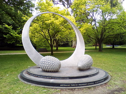
Nearby attractions include Kings Domain, Melbourne (4 min walk), Government House, Melbourne (4 min walk), Australian Turkish Friendship Memorial, Melbourne (4 min walk), La Trobe's Cottage, Melbourne (4 min walk).
How to get to Melbourne Observatory by public transport?
The nearest stations to Melbourne Observatory:
Bus
Tram
Train
Bus
- Shrine of Remembrance • Lines: 605 (3 min walk)
- Melbourne Observatory/Birdwood Ave • Lines: 605 (3 min walk)
Tram
- Stop 19: Shrine of Remembrance • Lines: 16, 16d, 3, 3a, 5, 6, 64, 64d, 67, 67d, 6d, 72 (7 min walk)
- Stop 20: Park Street • Lines: 16, 16d, 3, 3a, 5, 6, 64, 64d, 67, 67d, 6d, 72 (8 min walk)
Train
- Richmond (22 min walk)
- Flinders Street (25 min walk)

 Melbourne Trams
 Victoria Trains


