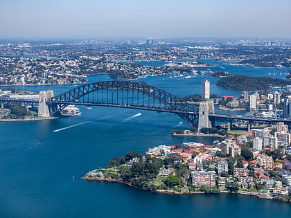
Steel Point Battery, Sydney
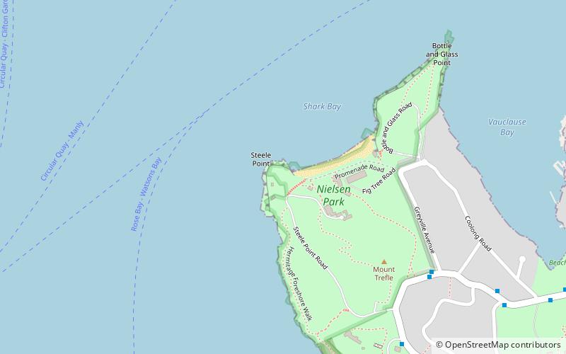
Map

Map

Facts and practical information
Built: 1871 (155 years ago)Coordinates: 33°51'4"S, 151°15'54"E
Address
Eastern Suburbs (Vaucluse)Sydney
ContactAdd
Social media
Add
Day trips
Steel Point Battery – popular in the area (distance from the attraction)
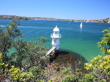
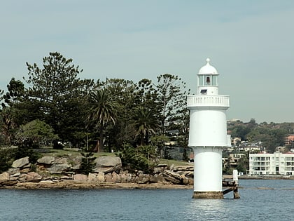
Nearby attractions include: Port Jackson, Bradleys Head Light, Wentworth Memorial Church, Nielsen Park.
Frequently Asked Questions (FAQ)
Which popular attractions are close to Steel Point Battery?
Nearby attractions include Greycliffe House, Sydney (3 min walk), Nielsen Park, Sydney (4 min walk), Strickland House, Sydney (10 min walk), Vaucluse Bay Range Front Light, Sydney (14 min walk).
How to get to Steel Point Battery by public transport?
The nearest stations to Steel Point Battery:
Ferry
Ferry
- Watsons Bay Wharf • Lines: F7 (27 min walk)

 Sydney Trains
 Sydney Light Rail
 Sydney Ferries


