Shark Island Light, Sydney
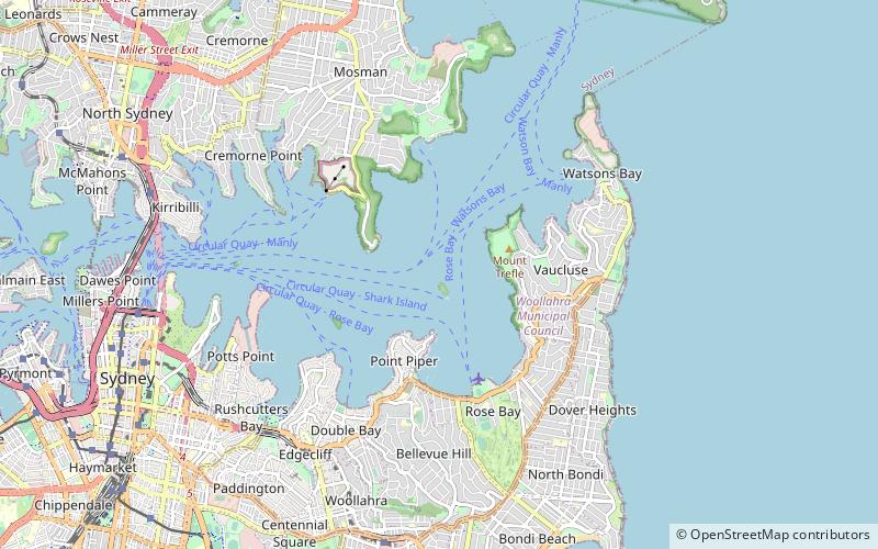
Map
Gallery
Facts and practical information
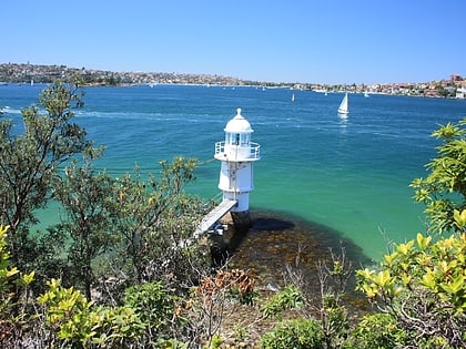
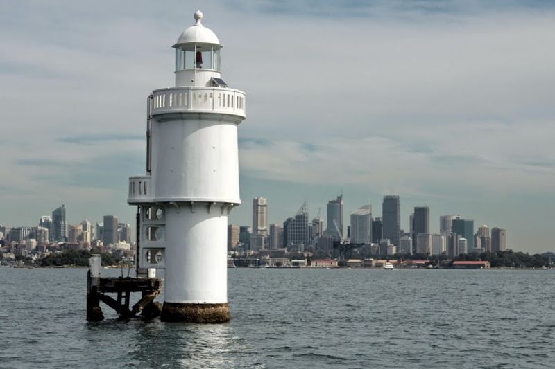
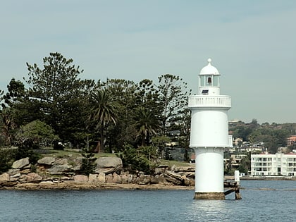
Shark Island Light is an active pile lighthouse located just north of Shark Island, an island in Sydney Harbour, New South Wales, Australia. Its light is only visible on in the fairway of the harbour, between Shark Point and Point Piper. ()
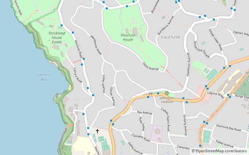
Coordinates: 33°51'23"S, 151°15'25"E
Day trips
Shark Island Light – popular in the area (distance from the attraction)
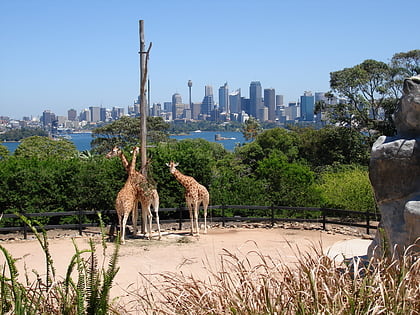
Nearby attractions include: Taronga Zoo, Port Jackson, Bradleys Head Light, Wentworth Memorial Church.
Frequently Asked Questions (FAQ)
Which popular attractions are close to Shark Island Light?
Nearby attractions include Shark Island, Sydney (4 min walk), Steel Point Battery, Sydney (16 min walk), Bradleys Head Light, Sydney (16 min walk), Greycliffe House, Sydney (17 min walk).
How to get to Shark Island Light by public transport?
The nearest stations to Shark Island Light:
Ferry
Bus
Ferry
- Rose Bay Wharf • Lines: F7 (26 min walk)
- Darling Point • Lines: F7 (31 min walk)
Bus
- Taronga Zoo (33 min walk)
 Sydney Trains
 Sydney Light Rail
 Sydney Ferries