Adelaide Park Lands, Adelaide

Facts and practical information
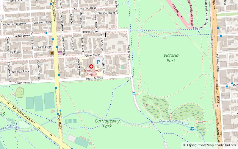
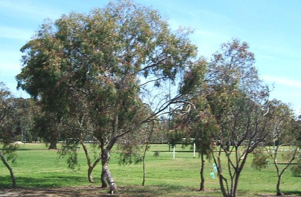
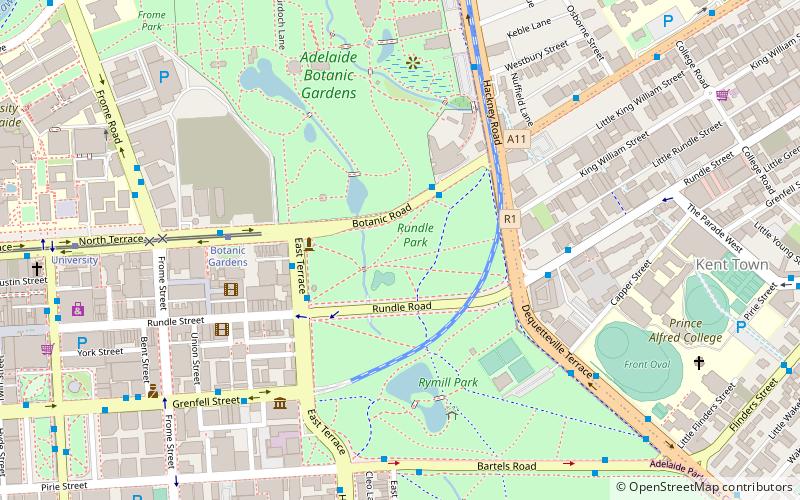
The Adelaide Park Lands are the figure-eight of land spanning both banks of the River Torrens between Hackney and Thebarton and separating the City of Adelaide area from the surrounding suburbia of greater metropolitan Adelaide, the capital city of South Australia. They were laid out by Colonel William Light in his design for the city, and originally consisted of 2,300 acres "exclusive of 32 acres for a public cemetery". One copy of Light's plan shows areas for a cemetery and a Post and Telegraph Store on West Tce, a small Government Domain and Barracks on the central part of North Tce, a hospital on East Tce, a Botanical Garden on the River Torrens west of North Adelaide, and a school and a storehouse south-west of North Adelaide. ()
Adelaide (Adelaide City Centre)Adelaide
- Bus
- Tram
- Train
 Bus
Bus
- Calculate routeSouth Terrace 25 min walk
- Calculate routeCity South 25 min walk
- Calculate routeBotanic Gardens 27 min walk
- Calculate routeGreenhill Road 28 min walk
- Calculate routeStop VS3 Victoria Square - East side 25 min walk
- Calculate routeStop F1 King William Street - North East side 28 min walk
- Calculate routeStop U2 Victoria Square - North West side 29 min walk
- Calculate routeStop E1 King William Street - East side 29 min walk
- Calculate routeAdelaide 38 min walk


Frequently Asked Questions (FAQ)
Which popular attractions are close to Adelaide Park Lands?
How to get to Adelaide Park Lands by public transport?
Tram
- South Terrace (25 min walk)
- City South (25 min walk)
Bus
- Stop VS3 Victoria Square - East side • Lines: 224, 224F, 224X (25 min walk)
- Stop F1 King William Street - North East side • Lines: 253X (28 min walk)
Train
- Adelaide (38 min walk)