Botanic Park, Adelaide
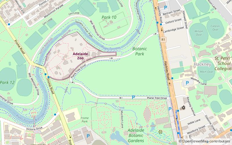
Map
Map

Facts and practical information
Botanic Park, part of Park 11, is a 34 hectare park in the Northeast Parklands of the South Australian capital of Adelaide. The park is bordered by Hackney Road and Frome Road. The University of South Australia, University of Adelaide, and the old Royal Adelaide Hospital are next to this park. The park also abuts the Adelaide Zoo and River Torrens. ()
Elevation: 141 ft a.s.l.Coordinates: 34°54'52"S, 138°36'36"E
Day trips
Botanic Park – popular in the area (distance from the attraction)
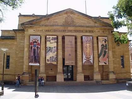
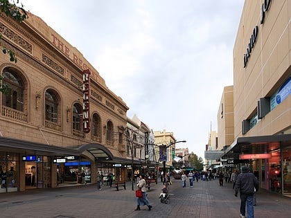
Nearby attractions include: Art Gallery of South Australia, Rundle Mall, Rundle Street, Adelaide Zoo.
Frequently Asked Questions (FAQ)
Which popular attractions are close to Botanic Park?
Nearby attractions include Adelaide Zoo, Adelaide (5 min walk), Adelaide Botanic Garden, Adelaide (6 min walk), Museum of Economic Botany, Adelaide (6 min walk), Park 10, Adelaide (8 min walk).
How to get to Botanic Park by public transport?
The nearest stations to Botanic Park:
Tram
Bus
Train
Tram
- Botanic Gardens (12 min walk)
- University (14 min walk)
Bus
- Stop 1 King William Road - West side • Lines: 224, 224F, 224X (17 min walk)
- Stop 2 King William Road - West side • Lines: 224, 224F, 224X (17 min walk)
Train
- Adelaide (23 min walk)

