Burrinjuck Nature Reserve

Gallery (1)
Map
Map
Facts and practical information
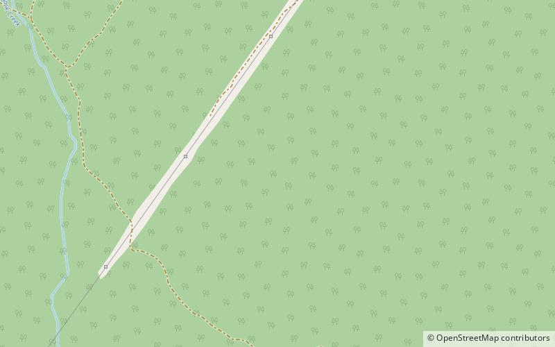
The Burrinjuck Nature Reserve is a protected nature reserve on the south west slopes of New South Wales, Australia. The 5,250-hectare reserve is located adjacent to the Burrinjuck Dam, with 5,118 hectares of the reserve located on the northern side of the reservoir, and the remaining 89 hectares located on the southern side of the reservoir to the northeast of Black Andrew Nature Reserve. It includes land formerly managed as the Burrinjuck State Forest and Burrinjuck State Recreation Area. ()
Established: 1984 (42 years ago)Elevation: 2244 ft a.s.l.Coordinates: 34°57'41"S, 148°35'49"E