Kroombit Tops National Park

Gallery (1)
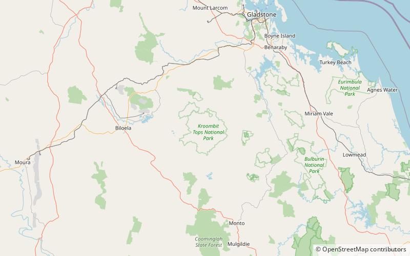
Map
Map
Facts and practical information
Kroombit Tops is a national park in Central Queensland, Australia. It is between Monto and Calliope. It is two parts. The largest part is within the localities of Tablelands, Valentine Plains, Cania and Boyne Valley, while the smaller part is in the locality of Mount Alma. It is 399 km northwest of Brisbane. Cania Gorge National Park is located approximately 25 km to the south. ()