Picnic Island

Map
Facts and practical information
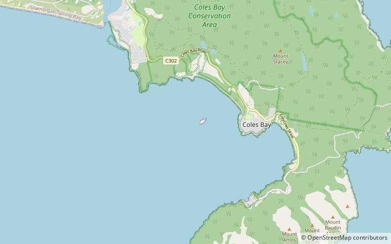
Picnic Island is a small, privately owned, rocky island, with an area of about one hectare, part of the Schouten Island Group, lying close to the eastern coast of Tasmania near the Freycinet Peninsula. It is composed of sandstone overlying granite. ()
Coordinates: 42°7'29"S, 148°16'1"E
Location
Tasmania
ContactAdd
Social media
Add
Day trips
Picnic Island – popular in the area (distance from the attraction)
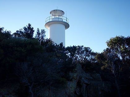
Nearby attractions include: Cape Tourville Lighthouse, Honeymoon Bay, The Hazards, Wineglass Bay.


