Cape Tourville Lighthouse, Freycinet National Park

Gallery (1)
Map
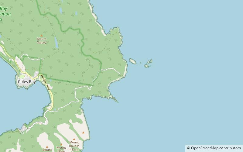
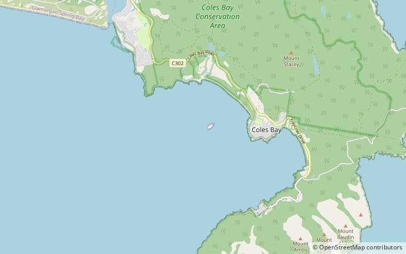
Map
Facts and practical information
The Cape Tourville Lighthouse is an unmanned, automatic lighthouse built in 1971 by private contractors. The road was constructed through virgin eucalypt forest, along with the powerline, with minimal disruption to the National Park. The top of the granite headland was levelled by blasting to provide the base for the lighthouse and parking area. ()
Coordinates: 42°7'22"S, 148°20'31"E
Day trips