Second Valley

Gallery (3)
Map
Map
Gallery
Facts and practical information
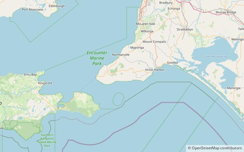
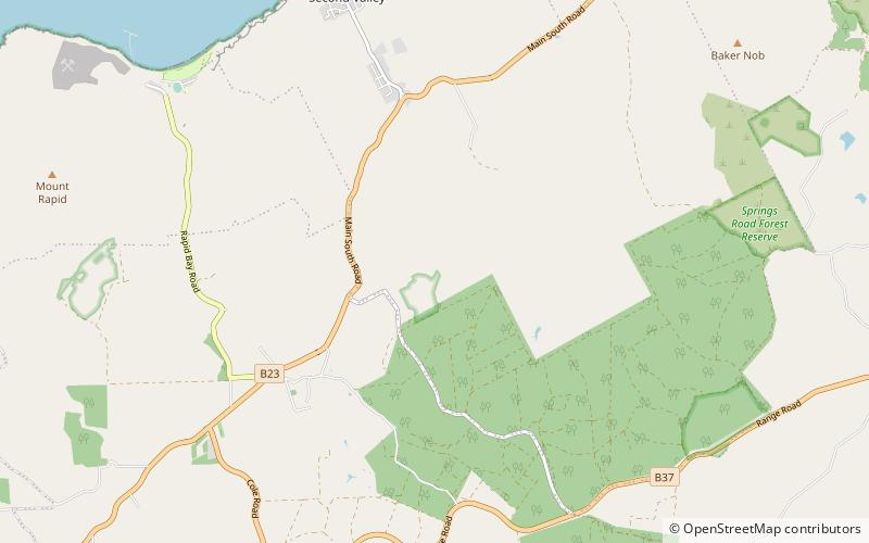
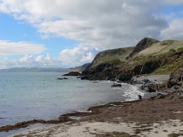
Second Valley is a coastal town on the Fleurieu Peninsula in South Australia. ()
Population: ~160 pplCoordinates: 35°32'60"S, 138°13'59"E
Location
South Australia
ContactAdd
Social media
Add
Day trips