Tumbulgum
Map

Map

Facts and practical information
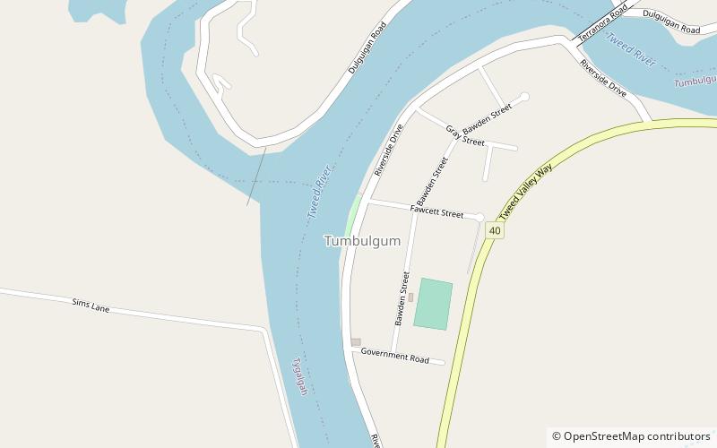
Tumbulgum is a village in northern New South Wales, Australia. It is in the Tweed Shire local government area, at the confluence of the Rous and Tweed Rivers, 818 kilometres north east of the state capital, Sydney and 120 kilometres south east of Brisbane. At the 2006 census, Tumbulgum had a population of 349. ()
Population: ~410 pplCoordinates: 28°16'29"S, 153°27'40"E
Location
New South Wales
ContactAdd
Social media
Add
Day trips
Tumbulgum – popular in the area (distance from the attraction)
Nearby attractions include: Tweed Regional Gallery, Minjungbal Resource Museum, Stotts Island Nature Reserve.


