Stotts Island Nature Reserve

Gallery (1)
Map
Map
Facts and practical information
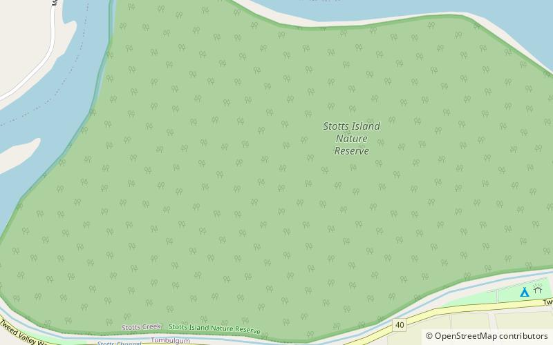
The Stotts Island Nature Reserve is a protected nature reserve containing the Stotts Island, a river island, that is located in the Tweed River, in the Northern Rivers region of New South Wales in eastern Australia. The 141-hectare reserve is situated near Tweed Heads and 12 kilometres northeast of Murwillumbah. ()
Established: 25 June 1971 (54 years ago)Elevation: 56 ft a.s.l.Coordinates: 28°16'16"S, 153°29'49"E
Day trips


