Ukerebagh Island

Gallery (1)
Map
Map
Facts and practical information
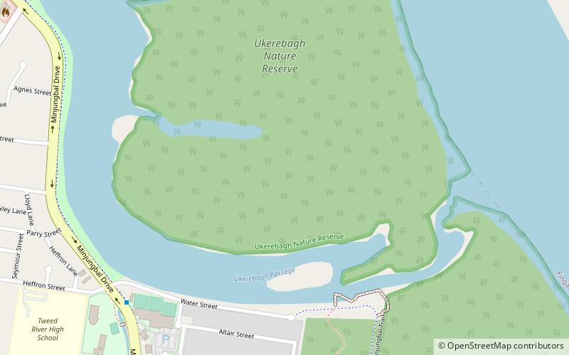
The Ukerabagh Island is a river island in the Ukerabagh Island Nature Reserve, a protected nature reserve. It is located in the mouth of the Tweed River, in the Northern Rivers region of New South Wales in eastern Australia. The 125-hectare reserve is situated near Tweed Heads and 1 kilometre south of a section that defines the border between the states of New South Wales and Queensland. The island and reserve is an important site for coastal birds. ()
Maximum elevation: 66 ftCoordinates: 28°11'31"S, 153°32'53"E
Day trips