Cook Island Nature Reserve

Gallery (1)
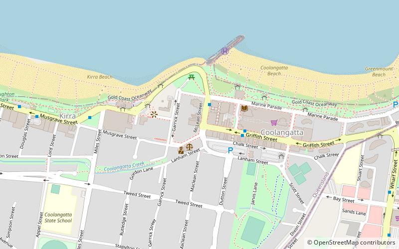
Map
Map
Facts and practical information
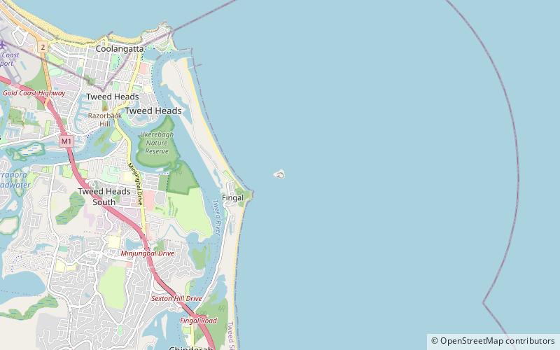
Cook Island Nature Reserve is a protected area in the Australian state of new South Wales located on Cook Island about 600 metres off the coastline from the headland of Fingal Head and about 4 kilometres south-east of Tweed Heads on the state's north coast. ()
Coordinates: 28°11'44"S, 153°34'41"E
Location
New South Wales
ContactAdd
Social media
Add
Day trips