Uki

Gallery (1)
Map
Map
Facts and practical information
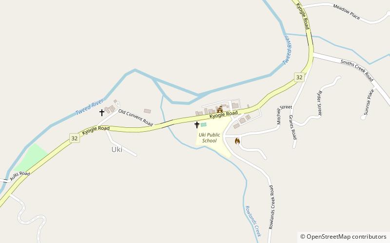
Uki is a village situated near Mount Warning in the Tweed Valley of far northern New South Wales, Australia in the Tweed Shire. At the 2011 census, Uki had a population of 765 people. Its name may have come from an aboriginal word for "small water plant with a yellow flower and edible root". ()
Population: ~690 pplCoordinates: 28°24'51"S, 153°20'2"E
Location
New South Wales
ContactAdd
Social media
Add
Day trips


