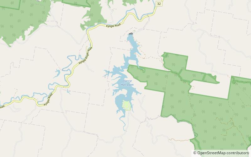
Clarrie Hall Dam
Map

Map

Facts and practical information
Clarrie Hall Dam is a minor ungated concrete faced rockfill embankment dam with an uncontrolled concrete-lined chute spillway across the Doon Doon Creek, located upstream of the small town of Uki, in the Northern Rivers region of New South Wales, Australia. The main purpose of the dam is for water supply and it creates the artificial Lake Clarrie Hall. ()
Opened: 1983 (43 years ago)Length: 574 ftHeight: 141 ftReservoir area: 0.85 mi²Reservoir depth: 135 ftElevation: 233 ft a.s.l.Coordinates: 28°27'33"S, 153°18'7"E
Location
New South Wales
ContactAdd
Social media
Add
Day trips
Clarrie Hall Dam – popular in the area (distance from the attraction)
Nearby attractions include: Mount Warning, Mount Jerusalem National Park, Uki.


