Broulee Island Nature Reserve

Gallery (3)
Map
Map
Gallery
Facts and practical information
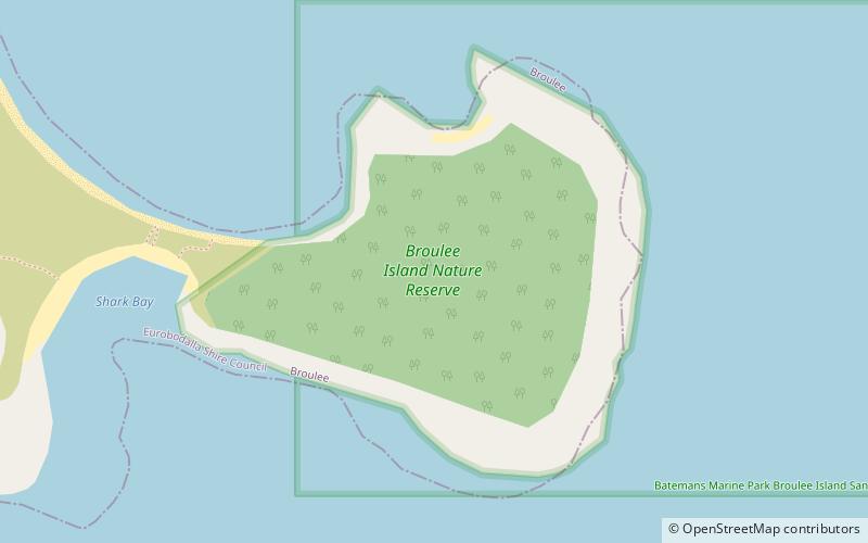
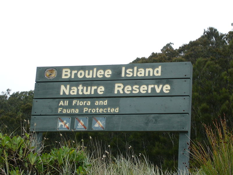
The Broulee Island Nature Reserve is a protected nature reserve located on the south coast of New South Wales, Australia. The 43 ha reserve was created in 1972 and is managed by the NSW National Parks & Wildlife Service. The reserve is situated 23 kilometres south of Batemans Bay and is adjacent to the village of Broulee. In the twenties of the last century, there was a small port here from which a large amount of shellgrit was taken to Sydney, where they were made of lime and used in construction. ()
Established: April 1972 (53 years ago)Coordinates: 35°51'28"S, 150°11'17"E
Day trips


