Broulee

Gallery (1)
Map
Map
Facts and practical information
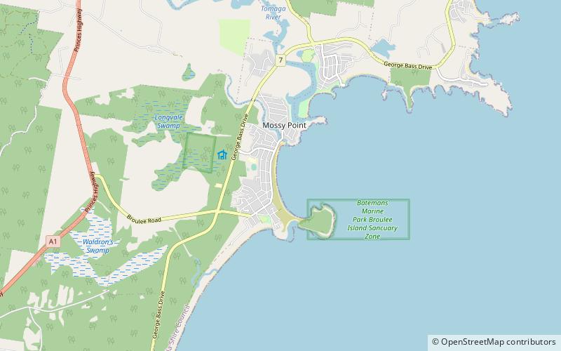
Broulee is a town on the south coast of New South Wales between Batemans Bay and Moruya. At the 2016 census, the town had a population of 1,717. Just off the beach is Broulee Island, currently joined to the mainland, but in past years the connecting spit has been covered by water, at times a very deep navigable channel with a strong current. ()
Population: 1.6 thous.Coordinates: 35°50'55"S, 150°10'43"E
Location
New South Wales
ContactAdd
Social media
Add
Day trips


