Melbourne/Stonnington, Melbourne
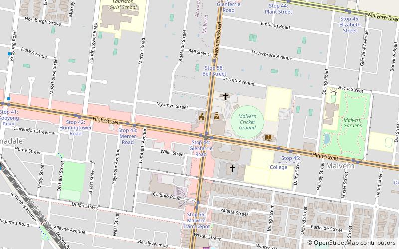
Map

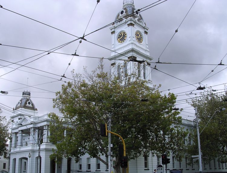
Gallery

Facts and practical information
The City of Stonnington is a local government area located within the metropolitan area of Melbourne, Australia. It comprises the inner south-eastern suburbs, between 3 and 13 km, from the Melbourne CBD. The city covers an area of 25.7 km2. ()
Day trips
Melbourne/Stonnington – popular in the area (distance from the attraction)
Nearby attractions include: Stockland Tooronga, Malvern Town Hall, Malvern Presbyterian Church, Ark Centre.
Frequently Asked Questions (FAQ)
Which popular attractions are close to Melbourne/Stonnington?
Nearby attractions include Malvern Town Hall, Melbourne (2 min walk), Malvern Presbyterian Church, Melbourne (12 min walk), Stonington mansion, Melbourne (14 min walk), Toorak Park, Melbourne (24 min walk).
How to get to Melbourne/Stonnington by public transport?
The nearest stations to Melbourne/Stonnington:
Tram
Bus
Train
Tram
- Stop 44: Glenferrie Road • Lines: 6, 6d (1 min walk)
- Stop 57: High Street • Lines: 16, 16d, 72a, 72d (1 min walk)
Bus
- High Street • Lines: 605 (12 min walk)
- Armadale Station • Lines: 605 (13 min walk)
Train
- Armadale (14 min walk)
- Malvern (18 min walk)

 Melbourne Trams
 Victoria Trains


