Ark Centre, Melbourne
Map

Map

Facts and practical information
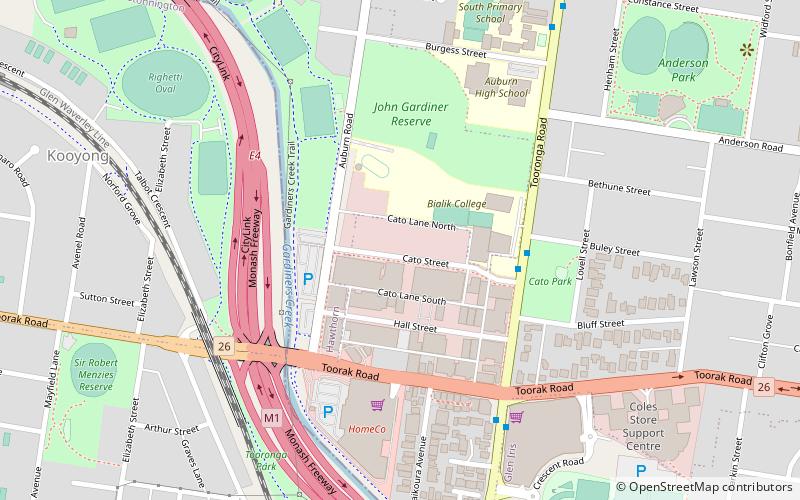
Ark Centre is a modern Orthodox synagogue and Community Centre located in the Melbourne suburb of Hawthorn East. It was founded by a number of people who were previously members of Kew Hebrew Congregation. ()
Coordinates: 37°50'35"S, 145°2'34"E
Address
Boroondara (Hawthorn)Melbourne
ContactAdd
Social media
Add
Day trips
Ark Centre – popular in the area (distance from the attraction)
Nearby attractions include: Glenferrie Road, Stockland Tooronga, Burke Road, Malvern Town Hall.
Frequently Asked Questions (FAQ)
How to get to Ark Centre by public transport?
The nearest stations to Ark Centre:
Bus
Train
Tram
Bus
- Cato St/Tooronga Rd • Lines: 624 (4 min walk)
- Buley St/Tooronga Rd • Lines: 624 (4 min walk)
Train
- Tooronga (12 min walk)
- Kooyong (15 min walk)
Tram
- Stop 64: Mernda Road • Lines: 16, 16d (16 min walk)
- Stop 64: Power Street • Lines: 16 (16 min walk)

 Melbourne Trams
 Victoria Trains


