Melbourne/Dandenong, Melbourne
Map

Gallery

Facts and practical information
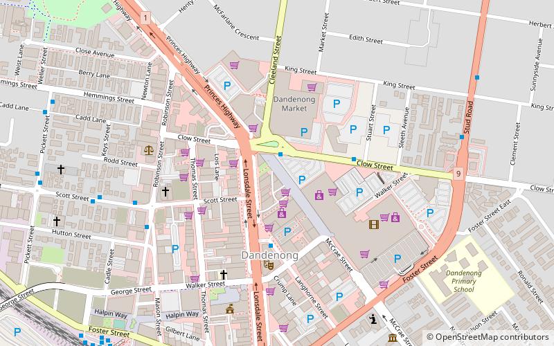
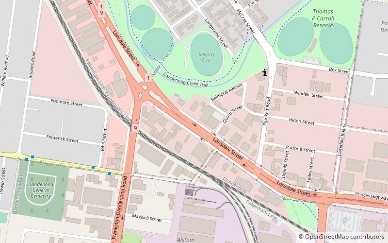
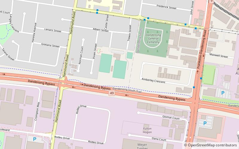
Dandenong is a suburb of Melbourne, 35 km south-east from the CBD. Situated on the northwest bank of the Dandenong Creek, it is 21.6 km from the namesake Dandenong Ranges to its northeast and completely unrelated in both location and nature. It is the administrative centre for the City of Greater Dandenong local government area. At the 2016 census, central Dandenong had a population of 29,906. ()
Address
Greater Dandenong (Dandenong)Melbourne
ContactAdd
Social media
Add
Day trips
Melbourne/Dandenong – popular in the area (distance from the attraction)
Nearby attractions include: Albanian Mosque, Myuna Farm, Armada Dandenong Plaza, Hallam Bypass Trail.
Frequently Asked Questions (FAQ)
Which popular attractions are close to Melbourne/Dandenong?
Nearby attractions include Albanian Mosque, Churchill National Park (18 min walk), Myuna Farm, Melbourne (24 min walk).
How to get to Melbourne/Dandenong by public transport?
The nearest stations to Melbourne/Dandenong:
Bus
Train
Bus
- Cleeland Street • Lines: 901 (1 min walk)
- Langhorne Place • Lines: 901 (4 min walk)
Train
- Dandenong (11 min walk)

 Melbourne Trams
 Victoria Trains


