Douglas Point Conservation Park

Map
Facts and practical information
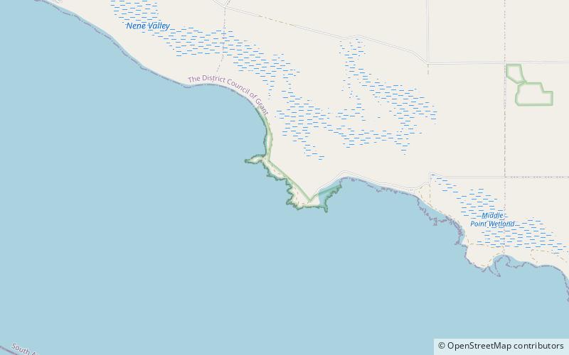
Douglas Point Conservation Park is a protected area in the Australian state of South Australia located in the gazetted locality of Cape Douglas in the state's south east about 29 kilometres south-west of Mount Gambier and about 11 kilometres north west of the township of Port MacDonnell. The conservation park was proclaimed under the National Parks and Wildlife Act 1972 in 1997 ‘to protect the endangered plant species, Sand Ixodia’. The conservation park is classified as an IUCN Category VI protected area. ()
Established: 1997 (29 years ago)Coordinates: 38°1'26"S, 140°34'34"E
Day trips
Douglas Point Conservation Park – popular in the area (distance from the attraction)
Nearby attractions include: Nene Valley Conservation Park.
