Mount Aberdeen National Park
Map
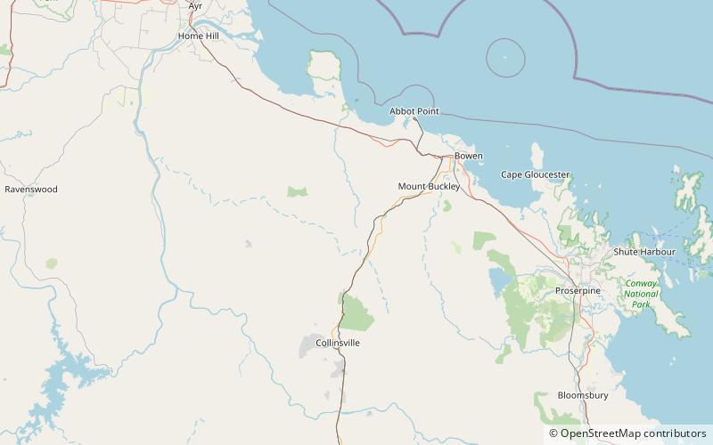
Map

Facts and practical information
Mount Aberdeen is a national park in North Queensland, Australia, 961 km northwest of Brisbane, and 40 km south-west of Bowen. The Park is in 2 sections; the Mount Aberdeen section of 1840ha dedicated in 1952, and the Highlanders Bonnet section of 1370ha dedicated in 1967. The Park has no direct public access road or public facilities. Both Mount Aberdeen and Highlander's Bonnet are composed of granite, with Mount Aberdeen summit reaching 901 m and Highlander's Bonnet 624 m. ()
Alternative names: Established: 1967 (59 years ago)Area: 115.06 mi²Elevation: 499 ft a.s.l.Coordinates: 20°12'19"S, 147°54'4"E
Location
Queensland
ContactAdd
Social media
Add
Best Ways to Experience the Park
Wildlife
AnimalsSee what popular animal species you can meet in this location.
More


