Pelican Point, Perth
Map
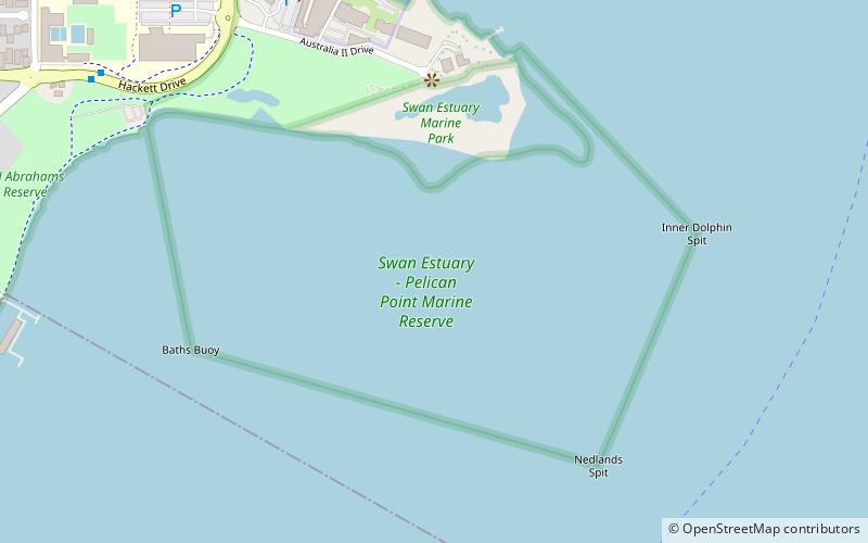
Map

Facts and practical information
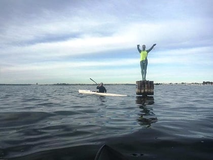
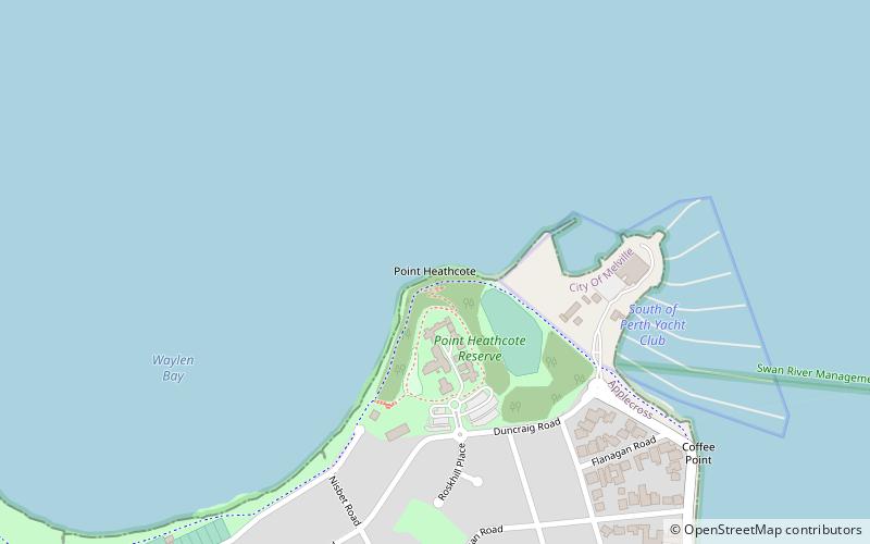
Pelican Point is a geographical feature and nature reserve on the Swan River in Perth, located at Matilda Bay near the University of Western Australia. The point is named for the pelicans that rest on sand bars at the end of the point. ()
Elevation: 3 ft a.s.l.Coordinates: 31°59'23"S, 115°49'34"E
Address
Perth
ContactAdd
Social media
Add
Day trips
Pelican Point – popular in the area (distance from the attraction)
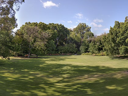
Nearby attractions include: Lawrence Wilson Art Gallery, Eliza Sculpture, Nedlands, Reid Library.
Frequently Asked Questions (FAQ)
Which popular attractions are close to Pelican Point?
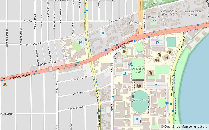
Nearby attractions include Royal Perth Yacht Club, Perth (10 min walk), Berndt Museum of Anthropology, Perth (20 min walk), Reid Library, Perth (23 min walk).
How to get to Pelican Point by public transport?
The nearest stations to Pelican Point:
Bus
Bus
- Hackett Drive after Parkway • Lines: 96, 97 (12 min walk)
- Fairway before Princess Road • Lines: 97 (17 min walk)


